Huejúcar
Huejúcar is a town and municipality, in Jalisco in central-western Mexico. The municipality covers an area of 309.2 km2.
Huejúcar | |
|---|---|
Municipality and town | |
 Seal | |
 Location of the municipality in Jalisco | |
 Huejúcar Location in Mexico | |
| Coordinates: 22°21′32.6484″N 103°12′38.8296″W | |
| Country | |
| State | |
| Municipality | Huejúcar |
| Government | |
| • Type | Ayuntamiento |
| • Municipal president | Arcelia Díaz Márquez MC |
| Area | |
| • Total | 309.2 km2 (119.4 sq mi) |
| • Town | 3.21 km2 (1.24 sq mi) |
| Elevation | 1,750−2,600 m (5,741−8,530 ft) |
| Population | |
| • Total | 5,920 |
| • Density | 19/km2 (50/sq mi) |
| • Town | 3,762 |
| • Town density | 1,200/km2 (3,000/sq mi) |
| Time zone | UTC-6 (Central) |
| • Summer (DST) | UTC-5 (Central) |
| Website | http://www.huejucar.jalisco.gob.mx/index.html |

As of 2020, the municipality had a total population of 5,920.
The name Huejúcar means "Place of Willows" in Nahuatl. It is about 240 km from the state capital, Guadalajara. It is next to Santa María de los Ángeles and Tepetongo. The municipality borders with the state of Zacatecas.
History
The city of Huejucar can trace its history back beyond the creation of Nueva Galicia in the Viceroyalty of New Spain. In 1530, Pedro Almíndez Chirinos passed through and conquered the area in the name of Spain during his voyage from Cuitzeo, Michoacan to Tepic, Nayarit.[3] On March 13, 1837, a decree is made that Huejucar would become part of the Colotlan Municipality. Later, on November 9, 1861, Huejucar would become its own municipality and twelve years later on September 24, 1873, would receive the title of Villa.
Geography
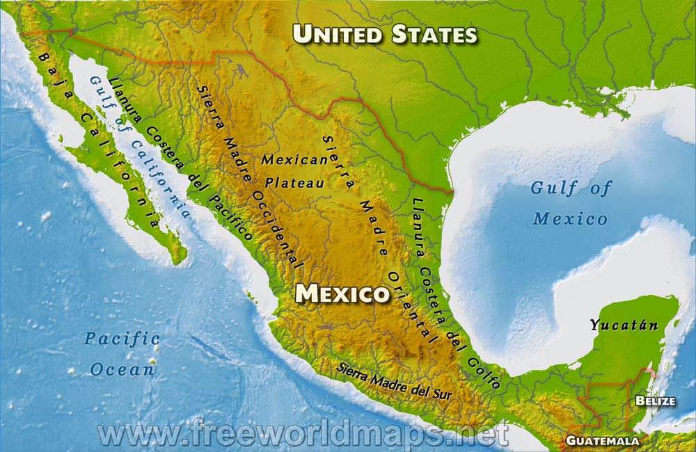
The town of Huejucar, although its average elevation is higher than that of the alpine city of Denver, Colorado in the United States, it is in a semiarid region with monsoonal weather in the summer months (July and August, mostly) with an average rainfall of 530.30 mm (20.878 in) of rainfall per year and an average temperature of 17.4C (63.3F). Summer months can reach highs on average of 38.3C (100.9F) while winter months reach lows on average of 0.8C (33.4F). Due to the Sierra Madre Occidental Mountains to the west, winds usually gust from the northeast. The town has average elevation of about 2,000 meters (6,600 feet) and the municipality's elevation varies drastically to as low as 1,750 meters (5,740 feet) in the valleys and as high as 2,600 meters (8,500 feet) in its mountainous areas on the western end of the municipality along the Sierra Madre Occidental Mountains. Hydrothermal streams and ponds dot the landscape to the west while the east and northeastern areas lead into the vast Mexican Plateau region in between the Sierra Madre Occidental and Oriental regions.[4]
Mexican Federal Highway 23 runs north–south which connects Huejucar on the southern terminus to the metropolitan area of Guadalajara, Jalisco and on its northern terminus to Fresnillo, Zacatecas.
Flora and fauna
Its vegetation is scarce in most of the territory. There are mainly drought-resistant plants such as: Vachellia farnesiana, Mesquite, Pitaya, Opuntia ficus-indica, Agave and some species of Populus, Pine and other trees in a small proportion.
Government
Municipal presidents
| Term | Municipal president | Political party | Notes |
|---|---|---|---|
| 01/01/1983-31/12/1985[5][6] | Francisco Campos Casas | PRI | |
| 01/01/1986-31/12/1988 | Juan Madera López | PRI | |
| 1989-1992 | Jorge Santacruz Flores | PRI | |
| 1992-1995 | J. Everardo Chávez Sotelo | PRI | |
| 1995-1997 | Francisco Santos Salas | PRI | |
| 01/01/1998-31/12/2000 | Miguel Ángel Martínez Bañuelos | PAN | |
| 01/01/2001-31/12/2003 | Bonifacio Rodrigo Silva de la Torre | PAN | |
| 01/01/2004-31/12/2006 | Miguel Ángel Martínez Bañuelos | PAN | |
| 01/01/2007-31/12/2009 | Édgar Humberto Villarreal Macías | PRI | |
| 01/01/2010-30/09/2012 | Bonifacio Rodrigo Silva de la Torre | PAN | |
| 01/10/2012-30/09/2015 | Francisco Santacruz Acuña | PRI | |
| 01/10/2015-30/09/2018 | Álvaro García Salazar | PRI | |
| 01/10/2018-28/02/2021 | Arcelia Díaz Márquez | MC | |
| 01/03/2021-30/09/2021 | Aaaa Bbbb Cccc | MC | Acting municipal president |
| 01/10/2021- | Arcelia Díaz Márquez | MC | She was reelected on 06/06/2021, to start a second triennium |
References
- Citypopulation.de
- Huejúcar, Jalisco, Mexico Official Website
- Jalisco-Huejúcar
- Free Maps - Mexican Topography
- "Jalisco. Huejúcar. Cronología de los Presidentes Municipales" (in Spanish). Retrieved 15 June 2021.
- "Enciclopedia de los Municipios y Delegaciones de México. Estado de Jalisco. Huejúcar" (in Spanish). Retrieved 15 June 2021.
External links
