Mont-Bertrand
Mont-Bertrand is a former commune. It is found in the region Basse-Normandie in the Calvados department in the northwest of France.[1] On 1 January 2016, it was merged into the new commune of Souleuvre-en-Bocage.[2]
Mont-Bertrand | |
|---|---|
Location of Mont-Bertrand 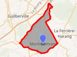 | |
 Mont-Bertrand  Mont-Bertrand | |
| Coordinates: 48°58′02″N 0°54′55″W | |
| Country | France |
| Region | Normandy |
| Department | Calvados |
| Arrondissement | Vire |
| Canton | Le Bény-Bocage |
| Intercommunality | Bény-Bocage |
| Government | |
| • Mayor (2008–2014) | Pierre Mulot |
| Area 1 | 6.33 km2 (2.44 sq mi) |
| Population (2008) | 233 |
| • Density | 37/km2 (95/sq mi) |
| Time zone | UTC+01:00 (CET) |
| • Summer (DST) | UTC+02:00 (CEST) |
| INSEE/Postal code | 14441 /14350 |
| Elevation | 102–247 m (335–810 ft) (avg. 200 m or 660 ft) |
| 1 French Land Register data, which excludes lakes, ponds, glaciers > 1 km2 (0.386 sq mi or 247 acres) and river estuaries. | |
References
- "Mont-Bertrand travel guide". France This Way. Retrieved 2009-09-06.
- Arrêté préfectoral 1 December 2015 (in French)
This article is issued from Wikipedia. The text is licensed under Creative Commons - Attribution - Sharealike. Additional terms may apply for the media files.