Al-Dimas
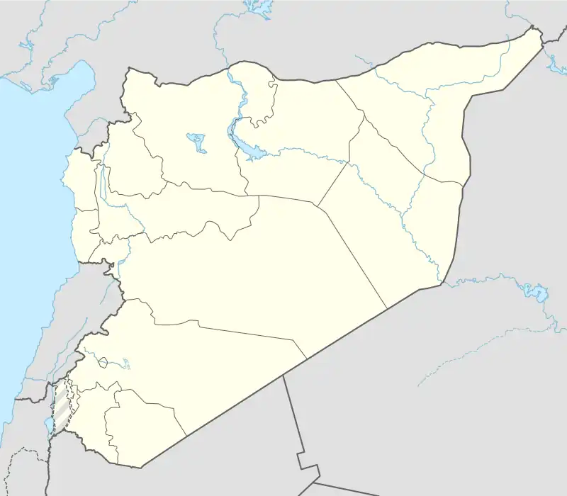
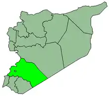
Al-Dimas (Arabic: الديماس), also known as Ad-Dimas, is a town in Syria,[2] located west of the capital city of Damascus.[3] According to the Syria Central Bureau of Statistics, the town had a population of 14,574 in the 2004 census.[1]
Al-Dimas
الديماس | |
|---|---|
Town | |
 Al-Dimas | |
| Coordinates: 33°35′00″N 36°05′00″E | |
| Country | |
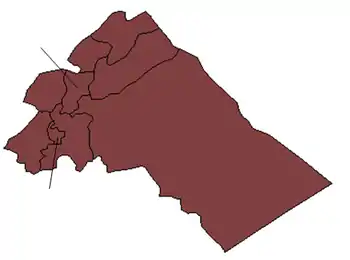
| Governorate | Rif Dimashq |
| District | Qudsaya |
| Subdistrict | al-Dimas |
| Elevation | 1,276 m (4,189 ft) |
| Population (2004 census)[1] | |
| • Total | 14,574 |
| Time zone | UTC+2 (EET) |
| • Summer (DST) | UTC+3 (EEST) |
| Area code | Country code: 963 |
Al-Dimas is the location where a Canadian peacekeeping aircraft crashed after being shot down by three Syrian surface-to-air missiles on August 9, 1974.
Climate
In Ad Dimas, there is a Mediterranean climate. Rainfall is higher in winter than in summer. The Köppen-Geiger climate classification is Csa. The average annual temperature in Ad Dimas is 14.7 °C (58.5 °F). About 432 mm (17.01 in) of precipitation falls annually.
| Climate data for Ad Dimas | |||||||||||||
|---|---|---|---|---|---|---|---|---|---|---|---|---|---|
| Month | Jan | Feb | Mar | Apr | May | Jun | Jul | Aug | Sep | Oct | Nov | Dec | Year |
| Mean daily maximum °C (°F) | 9.6 (49.3) |
10.8 (51.4) |
14.5 (58.1) |
19.2 (66.6) |
24.6 (76.3) |
29.0 (84.2) |
31.7 (89.1) |
32.1 (89.8) |
29.1 (84.4) |
24.3 (75.7) |
17.5 (63.5) |
11.5 (52.7) |
21.2 (70.1) |
| Mean daily minimum °C (°F) | 0.8 (33.4) |
1.1 (34.0) |
3.7 (38.7) |
6.9 (44.4) |
10.3 (50.5) |
13.6 (56.5) |
15.9 (60.6) |
16.0 (60.8) |
13.1 (55.6) |
9.7 (49.5) |
5.9 (42.6) |
2.3 (36.1) |
8.3 (46.9) |
| Average precipitation mm (inches) | 101 (4.0) |
84 (3.3) |
59 (2.3) |
26 (1.0) |
15 (0.6) |
0 (0) |
0 (0) |
0 (0) |
1 (0.0) |
14 (0.6) |
45 (1.8) |
87 (3.4) |
432 (17.0) |
| Source: Climate-Data.org,Climate data | |||||||||||||
References
- General Census of Population and Housing 2004. Syria Central Bureau of Statistics (CBS). Rif Dimashq Governorate. (in Arabic)
- "AD DIMAS RIF DIMASHQ SYRIA Geography Population Map cities coordinates location - Tageo.com". www.tageo.com. Retrieved 15 April 2018.
- "redirect to /world/SY/08/Ad_Dimas.html". www.fallingrain.com. Retrieved 15 April 2018.
|   | ||||||||||||||||||
|
| |||||||||||||||||||
| |||||||||||||||||||
| |||||||||||||||||||
| |||||||||||||||||||
| |||||||||||||||||||
| |||||||||||||||||||
| |||||||||||||||||||
| |||||||||||||||||||
This article is issued from Wikipedia. The text is licensed under Creative Commons - Attribution - Sharealike. Additional terms may apply for the media files.