Cedarville Township, Michigan
Cedarville Township is a civil township of Menominee County in the U.S. state of Michigan. The population was 242 as of the 2020 census.[2] The township was established in 1863.[5]
Cedarville Township, Michigan | |
|---|---|
 Sunset over Green Bay from Wells State Park | |
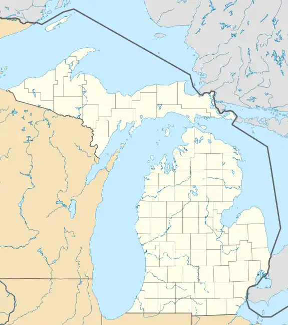
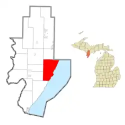 Location within Menominee County and the state of Michigan | |
 Cedarville Township  Cedarville Township | |
| Coordinates: 45°29′00″N 87°23′15″W | |
| Country | United States |
| State | Michigan |
| County | Menominee |
| Area | |
| • Total | 79.1 sq mi (205 km2) |
| • Land | 79.0 sq mi (205 km2) |
| • Water | 0.1 sq mi (0.3 km2) |
| Elevation | 627 ft (191 m) |
| Population | |
| • Total | 242 |
| • Density | 3.06/sq mi (1.18/km2) |
| Time zone | UTC-6 (Central (CST)) |
| • Summer (DST) | UTC-5 (CDT) |
| ZIP Codes | |
| Area code | 906 |
| FIPS code | 26-109-14240[3] |
| GNIS feature ID | 1626050[4] |
Geography
The township is in eastern Menominee County on the west shore of Lake Michigan's Green Bay. It is bordered to the northeast by Delta County. According to the United States Census Bureau, the township has a total area of 79.1 square miles (205 km2), of which 79.0 square miles (205 km2) are land and 0.1 square miles (0.26 km2), or 0.13%, are water.[1] Much of the land in the township is part of Escanaba River State Forest. The bulk of the township is drained by the Cedar River, including its tributary, the Walton River. The northeast part of the township is drained by Deer Creek and Olson Creek.
Communities
- Cedar Forks was initially settled in 1850. It had a post office from 1852 until 1883.[6]
- Cedar River is an unincorporated community in the township on highway M-35, 25 miles (40 km) northeast of Menominee, the county seat, and 29 miles (47 km) southwest of Escanaba. The community is at the mouth of the Cedar River on Green Bay at 45°24′40″N 87°21′17″W.[7] The ZIP Code for the community and surrounding area is 49887. Wells State Park is located just south of Cedar River. Cedar River began with the establishment of a sawmill here in 1854.[6]
Demographics
As of the census[3] of 2000, there were 276 people, 138 households, and 89 families residing in the township. In 2020, there were 242 residents in the township.[2]
References
Notes
- "2022 U.S. Gazetteer Files: Michigan". United States Census Bureau. Retrieved September 28, 2023.
- "P1. Race – Cedarville township, Michigan: 2020 DEC Redistricting Data (PL 94-171)". U.S. Census Bureau. Retrieved September 28, 2023.
- "U.S. Census website". United States Census Bureau. Retrieved January 31, 2008.
- U.S. Geological Survey Geographic Names Information System: Cedarville Township, Michigan
- Romig 1986, p. 230.
- Romig 1986, p. 105.
- U.S. Geological Survey Geographic Names Information System: Cedar River, Michigan
Sources
- Romig, Walter (October 1, 1986) [1973]. Michigan Place Names: The History of the Founding and the Naming of More Than Five Thousand Past and Present Michigan Communities (Paperback). Great Lakes Books Series. Detroit, Michigan: Wayne State University Press. ISBN 081431838X. ISBN 978-0814318386.
Municipalities and communities of Menominee County, Michigan, United States | ||
|---|---|---|
| Cities |  Map of Michigan highlighting Menominee County.svg | |
| Villages | ||
| Civil townships |
| |
| CDP |
| |
| Other communities |
| |
| Indian reservation | ||
| Footnotes | ‡This populated place also has portions in an adjacent county or counties | |
| ||