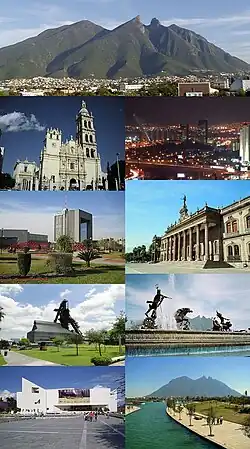
Monterrey metropolitan area
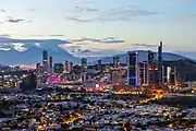
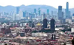
The Monterrey metropolitan area refers to the surrounding urban agglomeration of Monterrey, Nuevo León. Officially called Area Metropolitana de la Ciudad de Monterrey or AMM, the metropolitan area is the 2nd-largest in Mexico.
Monterrey Metropolitan Area | |
|---|---|
| Area Metropolitana de la Ciudad de Monterrey (Spanish) | |
 | |
 Monterrey 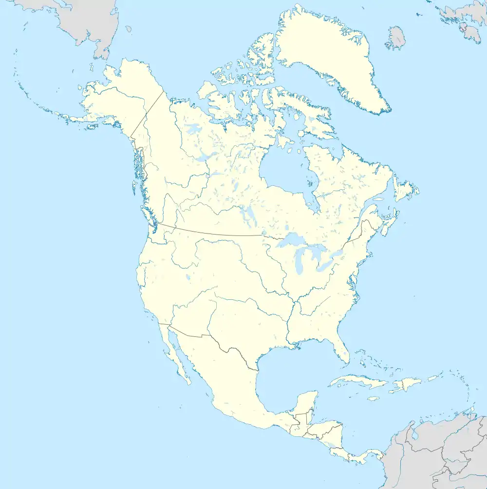 Monterrey | |
| Coordinates: 25°40′N 100°18′W | |
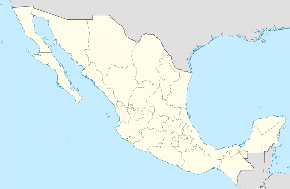
| Country | Mexico |
| State(s) | Nuevo León |
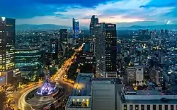
| Largest city | Monterrey |
| Other cities | - Apodaca - Escobedo - Garcia - Guadalupe - Juárez - Salinas Victoria - San Nicolás de los Garza - San Pedro Garza García - Santa Catarina - Santiago |
| Area | |
| • Total | 2,957 sq mi (7,658 km2) |
| Highest elevation | 4,900 ft (1,500 m) |
| Lowest elevation | 1,680 ft (512 m) |
| Population (2020 census)[1] | |
| • Total | 5,341,177 |
| • Density | 1,800/sq mi (700/km2) |
| GDP (PPP, constant 2015 values) | |
| • Year | 2023 |
| • Total | $190.3 billion[2] |
| • Per capita | $37,200 |
| Area code | 81 |
Overview
The Monterrey metropolitan area is composed of the municipalities/cities of:
- Apodaca
- Cadereyta Jiménez
- Escobedo
- García
- Guadalupe
- Juárez
- Monterrey
- Salinas Victoria
- San Nicolás de los Garza
- San Pedro Garza García
- Santa Catarina
- Santiago
There are three adjacent towns that do not maintain continuous urban development with the core urban area. These towns are considered strategic as the metropolitan area grows and integrates them:
- Ciénega de Flores
- General Zuazua
- Pesquería
References
- Citypopulation.de Population of Monterrey metropolitan area
- "TelluBase—Mexico Fact Sheet (Tellusant Public Service Series)" (PDF). Tellusant. Retrieved January 11, 2024.
External links
 Media related to Monterrey metropolitan area at Wikimedia Commons
- INEGI - Statistics of the ZMM - 2001
- https://www.nuevoleon.gob.mx
| ||
| |||||||||||||||||||||||||||||||||||||||||||||||||||||||||||||||||||||||||||||||||||||||||||||
.jpg.webp)
This article is issued from Wikipedia. The text is licensed under Creative Commons - Attribution - Sharealike. Additional terms may apply for the media files.