Lalbagh Thana
Lalbagh (Bengali: লালবাগ) is a neighbourhood of the Dhaka District in the division of Dhaka, Bangladesh.
Lalbagh Thana
লালবাগ থানা | |
|---|---|
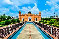 Th most prominent landmark of the Thana - Lalbagh Fort | |
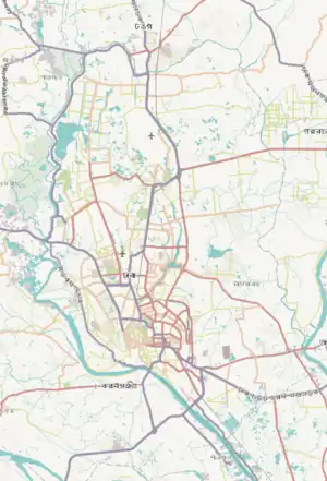
Expandable map of vicinity of Lalbagh Thana | |
 Lalbagh Thana Location of Lalbagh Thana within Dhaka 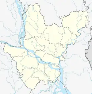 Lalbagh Thana Location of Lalbagh Thana within Dhaka Division 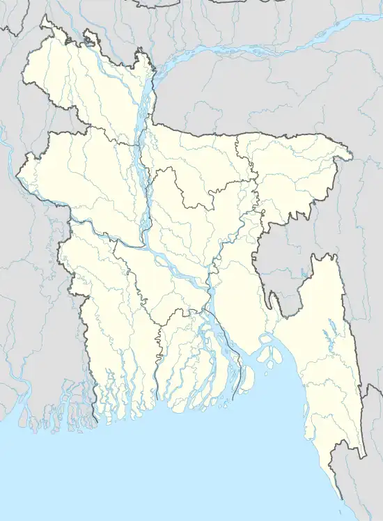 Lalbagh Thana Location of Lalbagh Thana within Bangladesh | |
| Coordinates: 23.71984°N 90.38974°E | |
| Country | |
| Division | Dhaka Division |
| District | Dhaka District |
| Area | |
| • Total | 2.04 km2 (0.79 sq mi) |
| Elevation | 23 m (75 ft) |
| Population (2011)[2] | |
| • Total | 369,933 |
| • Density | 181,340/km2 (469,700/sq mi) |
| Time zone | UTC+6 (BST) |
Geography
Lalbagh Thana is bounded by New Market Thana on the north, Keraniganj Upazila on the south, Chawkbazar Thana and Shahbagh on the east and Hazaribagh Thana and Keraniganj Upazila on the west. The thana occupies an area of 2.04 square km.[3]
Demographics
According to 2011 census, Lalbagh Thana has a population of 369,933 with average household size of 4.4 members, and an average literacy rate of 66.1% vs national average of 51.8% literacy.[2]
Banks
Almost every bank operating in the country has an outlet in Lalbagh.
Markets
- Chowk Bazaar
Lalbagh Police Station is located at Road No.: 17, Shahid Nagar, Dhaka, Bangladesh.
References
- "Geographic coordinates of Dhaka, Bangladesh". DATEANDTIME.INFO. Retrieved 7 July 2016.
- Bangladesh Bureau of Statistics (2011). "Population & Housing Census" (PDF). Bangladesh Government. Archived from the original (PDF) on 3 September 2017. Retrieved 17 April 2015.
- Syed Shabbir Ahmed (2012). "Lalbagh Thana". In Sirajul Islam and Ahmed A. Jamal (ed.). Banglapedia: National Encyclopedia of Bangladesh (Second ed.). Asiatic Society of Bangladesh.
This article is issued from Wikipedia. The text is licensed under Creative Commons - Attribution - Sharealike. Additional terms may apply for the media files.