Mount Wuteve
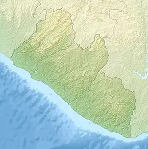
Mount Wuteve is a mountain located in Liberia, whose summit is the highest point in Liberia. It is located in the Guinea Highlands range, whose parent range is the West Africa Mountains. Data from the Shuttle Radar Topography Mission revealed that the summit is higher in elevation than the previously quoted 1,380 meters. As of 2024, the elevation is understood to be 1,447 meters.[2][3] It is also known as Mount Wologizi among locals of the Loma tribe.
| Mount Wuteve | |
|---|---|
 Mount Wuteve | |
| Highest point | |
| Elevation | 1,447 m (4,747 ft)[1] |
| Listing | Country high point |
| Coordinates | 8°08′45″N 9°55′30″W |
| Geography | |
| Location | Liberia |
| Parent range | Guinea Highlands of the West Africa Mountains |
References
- https://www.cia.gov/the-world-factbook/countries/liberia/#geography
- de Ferranti, Jonathan (28 June 2014). "ViewfinderPanorama.org".
- "Liberia", The World Factbook, Central Intelligence Agency, 2024-03-13, retrieved 2024-03-18
This article is issued from Wikipedia. The text is licensed under Creative Commons - Attribution - Sharealike. Additional terms may apply for the media files.