Barg-i Matal District
Bargi Matal District (Barge Matal District, Bragamatal District, Kamkata-vari: břagamâṭol, Pashto: برګ مټال ولسوالۍ, Persian: ولسوالی برگ متال) is a district of Nuristan Province, Afghanistan.[2] It was originally in Konarha Province (Konar Province)[3] and then was moved to the newly created Nuristan Province in 2001.
Bargi Matal | |
|---|---|
District | |
 Bargi Matal Location within Afghanistan | |
| Coordinates: 35°46′30″N 71°15′10″E | |
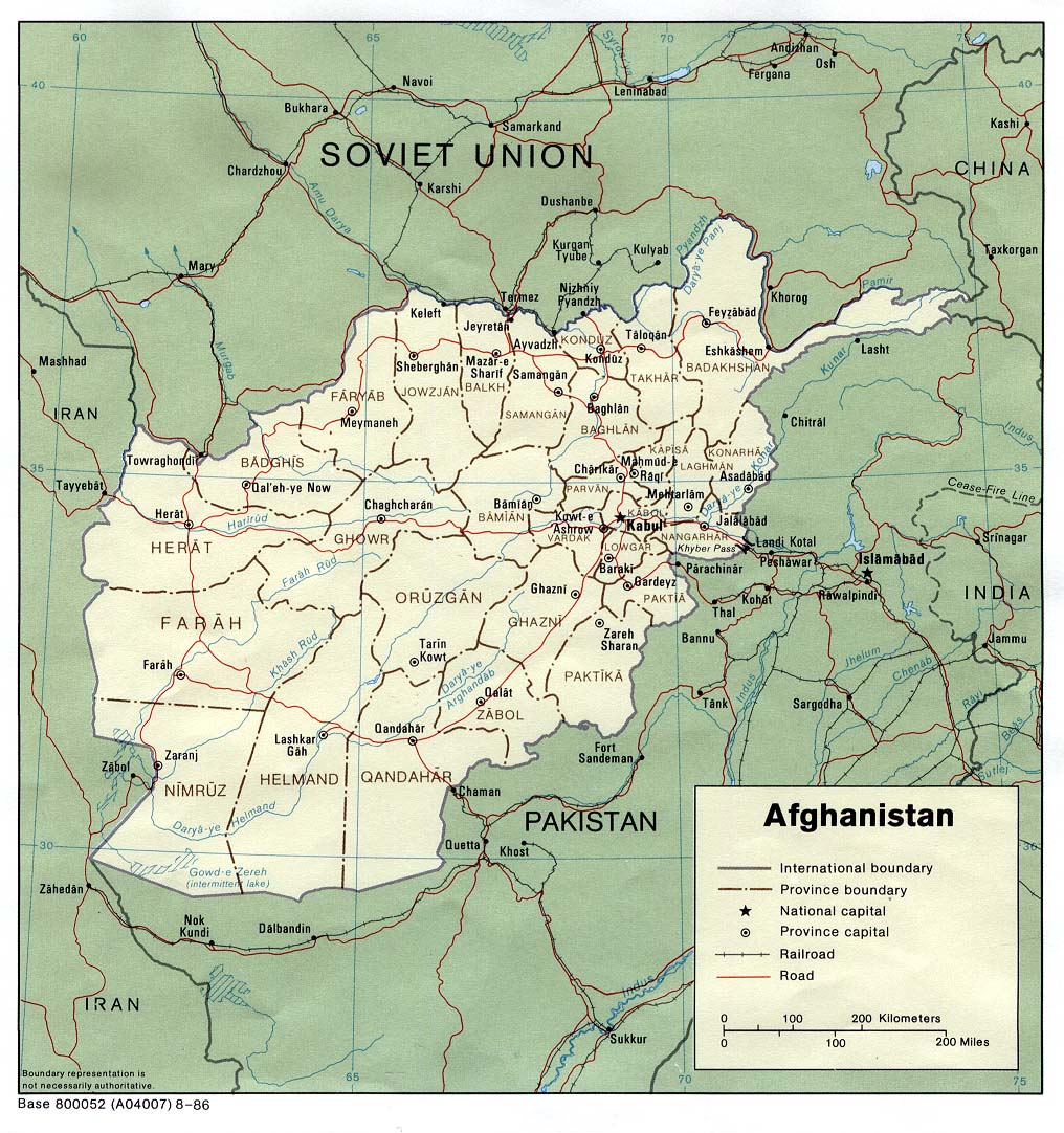
| Country | |
| Province | Nuristan |
| Population (2010) | |
| • Total | 15,000[1] |

Afghan soldiers fighting in Bargi Matal in 2009
Climate
Bargi Matal has a humid continental climate (Köppen: Dfb) with a subarctic (Köppen: Dfc) tendencies, resulting in long, cold winters and short, mild summers.
| Climate data for Barg-i Matal, elevation: 2,077 metres (6,814.3 ft) | |||||||||||||
|---|---|---|---|---|---|---|---|---|---|---|---|---|---|
| Month | Jan | Feb | Mar | Apr | May | Jun | Jul | Aug | Sep | Oct | Nov | Dec | Year |
| Daily mean °C (°F) | −8.9 (16.0) |
−7.4 (18.7) |
−2.4 (27.7) |
3.0 (37.4) |
8.3 (46.9) |
13.3 (55.9) |
15.5 (59.9) |
14.5 (58.1) |
10.7 (51.3) |
4.4 (39.9) |
−1.9 (28.6) |
−6.8 (19.8) |
3.5 (38.4) |
| Average precipitation mm (inches) | 101.8 (4.01) |
204.2 (8.04) |
194.5 (7.66) |
171.4 (6.75) |
133.7 (5.26) |
78.9 (3.11) |
112.4 (4.43) |
114.3 (4.50) |
61.6 (2.43) |
45.0 (1.77) |
71.6 (2.82) |
38.4 (1.51) |
1,327.8 (52.29) |
| Average relative humidity (%) | 61 | 71 | 70 | 59 | 49 | 41 | 49 | 54 | 46 | 42 | 49 | 49 | 53 |
| Source 1: ClimateCharts[4] | |||||||||||||
| Source 2: World Weather Online (humidity)[5] | |||||||||||||
Boundaries
Bargi Matal District is bounded by:[2]
- Kuran wa Munjan District of Badakhshan Province to the west and northwest,
- Chitral District of Khyber-Pakhtunkhwa Province, Pakistan, to the northeast and east,
- Kamdesh District to the south, and
- Parun District to the southwest.
See also
- Peshawar, Afghanistan, a settlement in the district
Notes
- "Nuristan Provincial Profile" (PDF). Minister of Rural Rehabilitation and Development. Retrieved 24 August 2015.
- "Afghanistan Administrative Divisions" map, March 2007, Afghanistan Information Management Services (AIMS)
- "Afghanistan" political map, 1986, United States Central Intelligence Agency
- "Climate: Barg-e Matāl - ClimateCharts, Laura Zepner, Pierre Karrasch, Felix Wiemann & Lars Bernard (2020) ClimateCharts.net – an interactive climate analysis web platform, International Journal of Digital Earth, DOI: 10.1080/17538947.2020.1829112". Retrieved 22 September 2022.
- "Humidity: Barge Matal - World Weather Online". Retrieved 22 September 2022.
External links
- Crowley, Michael (22 September 2009) "Dying For Barge Matal" The New Republic
- Cavendish, Julius (13 November 2009) "Barge Matal: It's a Place We Never Want to Go Back To", The Independent
| Districts |  | |
|---|---|---|
| Populated places | ||
| Other | ||
This article is issued from Wikipedia. The text is licensed under Creative Commons - Attribution - Sharealike. Additional terms may apply for the media files.