Helmbrechts
Helmbrechts (German pronunciation: [ˈhɛlmbʁɛçt͡s] (![]() listen)) is a town in Hof, in Bavaria, Germany. It is on the Southern edge of the Frankenwald, 20 km southwest of Hof.
listen)) is a town in Hof, in Bavaria, Germany. It is on the Southern edge of the Frankenwald, 20 km southwest of Hof.
Helmbrechts | |
|---|---|
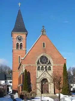 Martin Luther Church | |
 Coat of arms | |
Location of Helmbrechts within Hof district  | |
 Helmbrechts  Helmbrechts | |
| Coordinates: 50°13′N 11°41′E | |
| Country | Germany |
| State | Bavaria |
| Admin. region | Oberfranken |
| District | Hof |
| Government | |
| • Mayor (2020–26) | Stefan Pöhlmann[1] (SPD) |
| Area | |
| • Total | 58.66 km2 (22.65 sq mi) |
| Elevation | 616 m (2,021 ft) |
| Population (2021-12-31)[2] | |
| • Total | 8,368 |
| • Density | 140/km2 (370/sq mi) |
| Time zone | UTC+01:00 (CET) |
| • Summer (DST) | UTC+02:00 (CEST) |
| Postal codes | 95233 |
| Dialling codes | 09252 |
| Vehicle registration | HO |
| Website | www.stadt-helmbrechts.de |
Geography
The city districts
With the local government reorganization in 1972, the following villages were merged to Helmbrechts' district:
|
|
References
Other websites
- The Death March through Helmbrechts to Volary, at Yad Vashem website
Towns and municipalities in Hof (district) | ||
|---|---|---|
| Coat of Arms of Hof district | |
Authority control | |
|---|---|
| General | |
| National libraries | |
This article is issued from Wikipedia. The text is licensed under Creative Commons - Attribution - Sharealike. Additional terms may apply for the media files.