Glacier County, Montana
Glacier County is a county found in the U.S. state of Montana. As of the 2010 United States Census, there were 13,399 people.[1] The county seat is Cut Bank.[2] It is across from the Canadian border of Alberta.
Glacier County | |
|---|---|
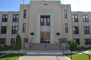 Glacier County Courthouse in Cut Bank | |
 Location within the U.S. state of Montana | |
 Montana's location within the U.S. | |
| Coordinates: 48°42′N 113°01′W | |
| Country | |
| State | |
| Founded | 1919 |
| Seat | Cut Bank |
| Largest city | Cut Bank |
| Area | |
| • Total | 3,037 sq mi (7,870 km2) |
| • Land | 2,996 sq mi (7,760 km2) |
| • Water | 41 sq mi (110 km2) 1.40%% |
| Population | |
| • Estimate (2017) | 13,640 |
| • Density | 4.5/sq mi (1.7/km2) |
| Time zone | UTC−7 (Mountain) |
| • Summer (DST) | UTC−6 (MDT) |
| Congressional district | At-large |
| Website | www |
References
- "State & County QuickFacts". US Census Bureau. Archived from the original on July 10, 2011. Retrieved September 15, 2013.
- "Find a County". National Association of Counties. Archived from the original on 31 May 2011. Retrieved 7 June 2011.
Helena (capital) | ||
| Topics | ||
| Society |
| |
| Regions |
| |
| Largest cities | ||
| Counties |
| |

This article is issued from Wikipedia. The text is licensed under Creative Commons - Attribution - Sharealike. Additional terms may apply for the media files.