Agenville
Agenville (French pronunciation: [aʒɑ̃vil]; Picard: Adinville) is a commune in the Somme department in Hauts-de-France in northern France.
Agenville | |
|---|---|
 The church of Saint-Sauveur | |
Location of Agenville | |
 Agenville 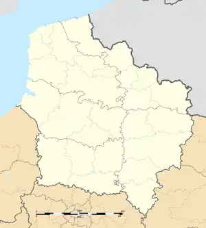 Agenville | |
| Coordinates: 50°09′59″N 2°06′13″E | |
| Country | France |
| Region | Hauts-de-France |
| Department | Somme |
| Arrondissement | Amiens |
| Canton | Doullens |
| Intercommunality | Territoire Nord Picardie |
| Government | |
| • Mayor (2022–2026) | Ludivine Lefort[1] |
| Area 1 | 3.3 km2 (1.3 sq mi) |
| Population (2021)[2] | 82 |
| • Density | 25/km2 (64/sq mi) |
| Time zone | UTC+01:00 (CET) |
| • Summer (DST) | UTC+02:00 (CEST) |
| INSEE/Postal code | 80005 /80370 |
| Elevation | 88–136 m (289–446 ft) (avg. 140 m or 460 ft) |
| 1 French Land Register data, which excludes lakes, ponds, glaciers > 1 km2 (0.386 sq mi or 247 acres) and river estuaries. | |
Geography
The commune is a village of mixed farming situated 25 km (16 mi) northeast of Abbeville on the D56 road. It is surrounded by the communes Domléger-Longvillers, Conteville and Prouville.
History
Destroyed by the English at the time of the battle of Crecy in 1346 and rebuilt on a new site. Rebuilt after the bombardments of 1944, when 95% of the village was destroyed, as the V1 rocket site was nearby. Agenville was once a centre of a pilgrimage.
Population
| Year | Pop. | ±% p.a. |
|---|---|---|
| 1968 | 103 | — |
| 1975 | 95 | −1.15% |
| 1982 | 89 | −0.93% |
| 1990 | 84 | −0.72% |
| 1999 | 91 | +0.89% |
| 2007 | 107 | +2.05% |
| 2012 | 107 | +0.00% |
| 2017 | 91 | −3.19% |
| Source: INSEE[3] | ||
See also
References
- "Répertoire national des élus: les maires" (in French). data.gouv.fr, Plateforme ouverte des données publiques françaises. 4 May 2022.
- "Populations légales 2021". The National Institute of Statistics and Economic Studies. 28 December 2023.
- Population en historique depuis 1968, INSEE
This article is issued from Wikipedia. The text is licensed under Creative Commons - Attribution - Sharealike. Additional terms may apply for the media files.