Bdín
Bdín is a municipality and village in Rakovník District in the Central Bohemian Region of the Czech Republic. It has about 70 inhabitants.
Bdín | |
|---|---|
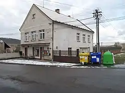 Municipal office | |
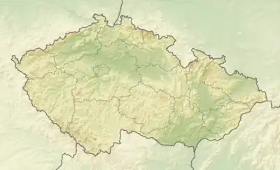 Bdín Location in the Czech Republic | |
| Coordinates: 50°12′51″N 13°51′32″E | |
| Country | |
| Region | Central Bohemian |
| District | Rakovník |
| First mentioned | 1318 |
| Area | |
| • Total | 2.12 km2 (0.82 sq mi) |
| Elevation | 360 m (1,180 ft) |
| Population (2023-01-01)[1] | |
| • Total | 73 |
| • Density | 34/km2 (89/sq mi) |
| Time zone | UTC+1 (CET) |
| • Summer (DST) | UTC+2 (CEST) |
| Postal code | 270 54 |
| Website | www |
Etymology
The name is derived from the personal name Bda, meaning "Bda's court".[2]
Geography
Bdín is located about 15 kilometres (9 mi) northeast of Rakovník and 39 km (24 mi) northwest of Prague. It lies in the Džbán range. The highest point is at 476 m (1,562 ft) above sea level. The stream Bakovský potok flows through the municipality.
History
The first written mention of Bdín is from 1318.[2]
Demographics
|
|
| ||||||||||||||||||||||||||||||||||||||||||||||||||||||
| Source: Censuses[3][4] | ||||||||||||||||||||||||||||||||||||||||||||||||||||||||
Transport
The I/16 road, which connects the D6 motorway with Slaný and Mělník, runs along the southern municipal border.
Sights
Bdín is poor in monuments. The most notable sights are a wooden belfry and a bust of John Amos Comenius from 1913.[2]
References
- "Population of Municipalities – 1 January 2023". Czech Statistical Office. 2023-05-23.
- "Bdín nabízí klidné útočiště" (in Czech). Deník.cz. Retrieved 2022-11-09.
- "Historický lexikon obcí České republiky 1869–2011 – Okres Rakovník" (in Czech). Czech Statistical Office. 2015-12-21. pp. 1–2.
- "Population Census 2021: Population by sex". Public Database. Czech Statistical Office. 2021-03-27.
This article is issued from Wikipedia. The text is licensed under Creative Commons - Attribution - Sharealike. Additional terms may apply for the media files.