Bolleville, Seine-Maritime
Bolleville (French pronunciation: [bɔlvil]) is a commune in the Seine-Maritime department in the Normandy region in northern France.
Bolleville | |
|---|---|
Location of Bolleville | |
 Bolleville 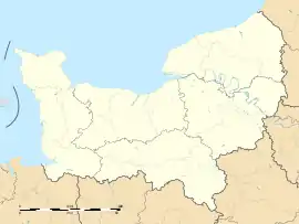 Bolleville | |
| Coordinates: 49°36′00″N 0°33′57″E | |
| Country | France |
| Region | Normandy |
| Department | Seine-Maritime |
| Arrondissement | Le Havre |
| Canton | Port-Jérôme-sur-Seine |
| Intercommunality | Caux Seine Agglo |
| Government | |
| • Mayor (2020–2026) | Chantal Lelievre[1] |
| Area 1 | 9.73 km2 (3.76 sq mi) |
| Population (2021)[2] | 585 |
| • Density | 60/km2 (160/sq mi) |
| Time zone | UTC+01:00 (CET) |
| • Summer (DST) | UTC+02:00 (CEST) |
| INSEE/Postal code | 76115 /76210 |
| Elevation | 128–153 m (420–502 ft) (avg. 141 m or 463 ft) |
| 1 French Land Register data, which excludes lakes, ponds, glaciers > 1 km2 (0.386 sq mi or 247 acres) and river estuaries. | |
Geography
A farming village situated in the Pays de Caux, some 22 miles (35 km) northeast of Le Havre, served by the D28, D109 and D6015 roads. The A29 autoroute passes by on the northern border of the village.
Population
| Year | Pop. | ±% p.a. |
|---|---|---|
| 1968 | 408 | — |
| 1975 | 412 | +0.14% |
| 1982 | 447 | +1.17% |
| 1990 | 504 | +1.51% |
| 1999 | 506 | +0.04% |
| 2007 | 527 | +0.51% |
| 2012 | 592 | +2.35% |
| 2017 | 580 | −0.41% |
| Source: INSEE[3] | ||
Places of interest
- The church of St.Pierre and St.Paul, dating from the thirteenth century.
- Two seventeenth century châteaux, at Beaunay and Calménil
References
- "Répertoire national des élus: les maires" (in French). data.gouv.fr, Plateforme ouverte des données publiques françaises. 13 September 2022.
- "Populations légales 2021". The National Institute of Statistics and Economic Studies. 28 December 2023.
- Population en historique depuis 1968, INSEE
Wikimedia Commons has media related to Bolleville (Seine-Maritime).
This article is issued from Wikipedia. The text is licensed under Creative Commons - Attribution - Sharealike. Additional terms may apply for the media files.