Brevoort Island
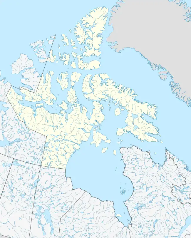
Brevoort Island is a small, uninhabited island located in the Davis Strait off the eastern coast of Baffin Island in the Qikiqtaaluk Region of northern Canada's territory of Nunavut. The island is a member of the Arctic Archipelago and lies north of Cape Murchison, opposite the Cumberland Peninsula.
 Brevoort Island 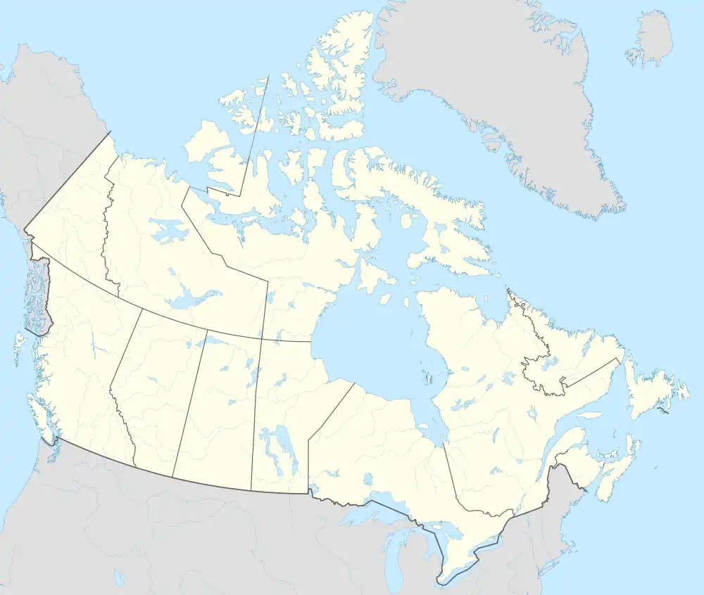 Brevoort Island | |
| Geography | |
|---|---|
| Location | Northern Canada |
| Coordinates | 63°30′15″N 64°20′00″W[1] |
| Archipelago | Arctic Archipelago |
| Area | 271 km2 (105 sq mi) |
| Administration | |
Canada | |
| Territory | Nunavut |
| Region | Qikiqtaaluk |
| Demographics | |
| Population | Uninhabited |
Geography
Brevoort Island, with an area of 271 km2 (105 sq mi), is 46 km (29 mi) in length, and 5–7 km (3.1–4.3 mi) in width. It has a hilly interior, mostly composed of granite.[3]
Military use
The island is the home of BAF-3, a North Warning System Long Range Radar site. Before the transition to the NWS it functioned as a rearward communications (relay) station for the Distant Early Warning Line, designated as RES-X-1 [4]
References
- "Brevoort Island". Geographical Names Data Base. Natural Resources Canada.
- "Brevoort Island". Geographical Names Data Base. Natural Resources Canada.
- "Brevoort Island". oceandots.com. Archived from the original on December 23, 2010. Retrieved 2008-04-13.
- "Brevoort Island, Nunavut". lswilson.ca. Retrieved 2008-04-13.
.jpg)
This article is issued from Wikipedia. The text is licensed under Creative Commons - Attribution - Sharealike. Additional terms may apply for the media files.