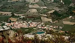
Cantalupo Ligure
Cantalupo Ligure is a comune (municipality) in the Province of Alessandria in the Italian region Piedmont, located about 110 kilometres (68 mi) southeast of Turin and about 40 kilometres (25 mi) southeast of Alessandria.
Cantalupo Ligure | |
|---|---|
| Comune di Cantalupo Ligure | |
 | |
Location of Cantalupo Ligure | |
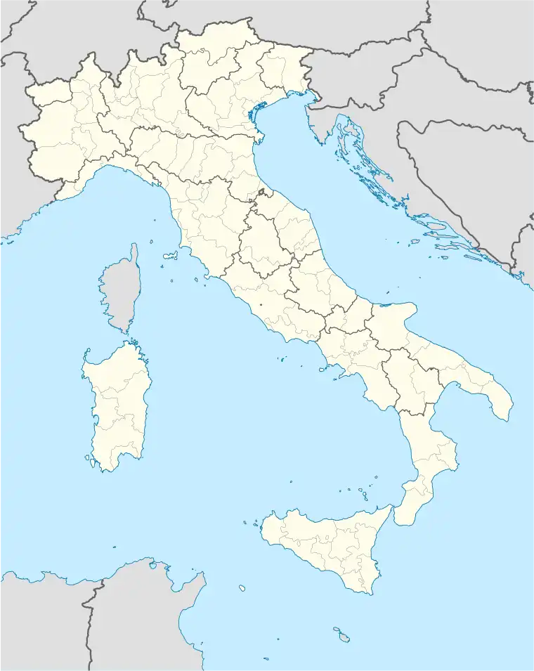 Cantalupo Ligure Location of Cantalupo Ligure in Italy 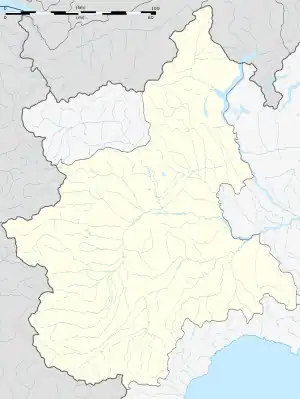 Cantalupo Ligure Cantalupo Ligure (Piedmont) | |
| Coordinates: 44°43′N 9°3′E | |
| Country | Italy |
| Region | Piedmont |
| Province | Province of Alessandria (AL) |
| Frazioni | Pallavicino, Borgo Adorno, Pessinate, Semega, Campana, Zebedassi, Besante, Arborelle, Colonne, Pertuso, Prato, Merlassino, Costa Merlassino |
| Government | |
| • Mayor | Pierluigi Debenedetti |
| Area | |
| • Total | 24.06 km2 (9.29 sq mi) |
| Elevation | 383 m (1,257 ft) |
| Population (30 April 2017)[2] | |
| • Total | 516 |
| • Density | 21/km2 (56/sq mi) |
| Demonym | Cantalupesi |
| Time zone | UTC+1 (CET) |
| • Summer (DST) | UTC+2 (CEST) |
| Postal code | 15060 |
| Dialing code | 0143 |
| Website | Official website |
Cantalupo Ligure borders the following municipalities: Albera Ligure, Borghetto di Borbera, Dernice, Montacuto, Roccaforte Ligure, and Rocchetta Ligure.
References
- "Superficie di Comuni Province e Regioni italiane al 9 ottobre 2011". Italian National Institute of Statistics. Retrieved 16 March 2019.
- All demographics and other statistics: Italian statistical institute Istat.
}
This article is issued from Wikipedia. The text is licensed under Creative Commons - Attribution - Sharealike. Additional terms may apply for the media files.