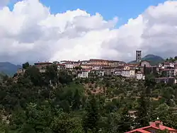
Coreglia Antelminelli
Coreglia Antelminelli is a comune (municipality) in the Province of Lucca in the Italian region Tuscany, located about 70 kilometres (43 mi) northwest of Florence and about 25 kilometres (16 mi) north of Lucca.
Coreglia Antelminelli | |
|---|---|
| Comune di Coreglia Antelminelli | |
 | |
 Coat of arms | |
Location of Coreglia Antelminelli | |
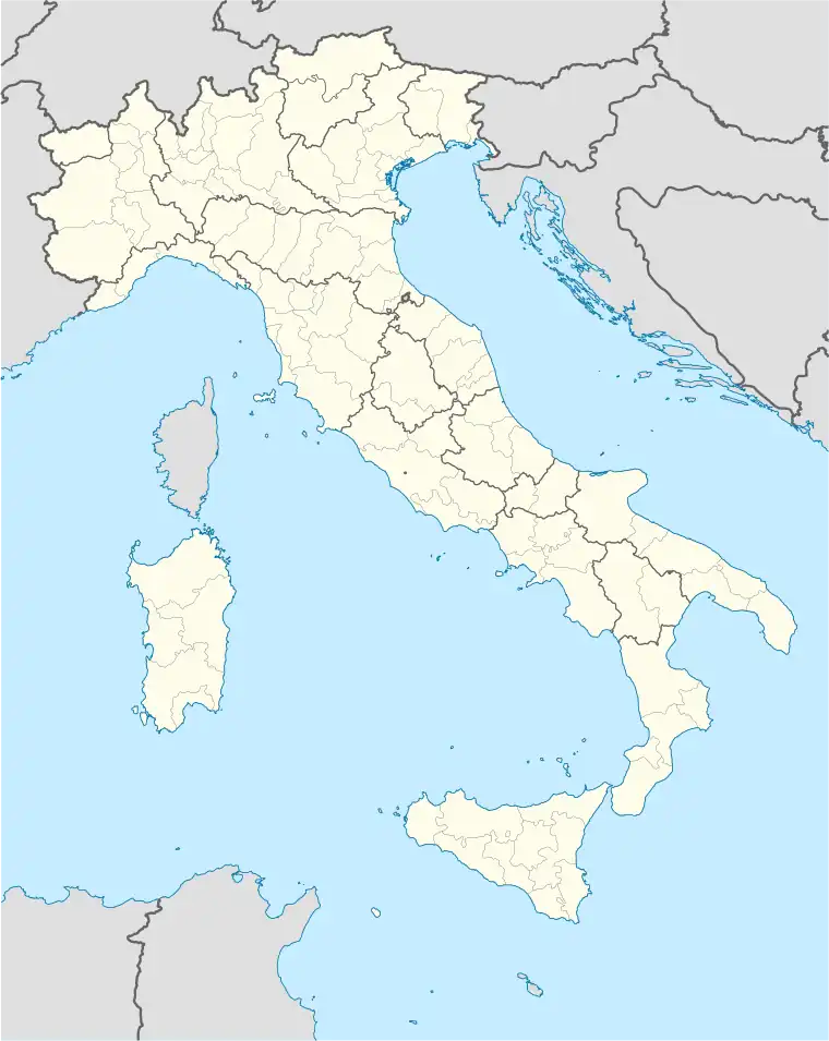 Coreglia Antelminelli Location of Coreglia Antelminelli in Italy 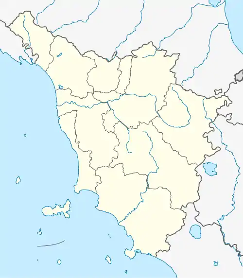 Coreglia Antelminelli Coreglia Antelminelli (Tuscany) | |
| Coordinates: 44°3′52″N 10°31′35″E | |
| Country | Italy |
| Region | Tuscany |
| Province | Lucca (LU) |
| Frazioni | Calavorno, Ghivizzano, Gromignana, Lucignana, Piano di Coreglia, Tereglio, Vitiana |
| Government | |
| • Mayor | Valerio Amadei |
| Area | |
| • Total | 52.94 km2 (20.44 sq mi) |
| Elevation | 595 m (1,952 ft) |
| Population (31 March 2017)[2] | |
| • Total | 5,212 |
| • Density | 98/km2 (250/sq mi) |
| Demonym | Coreglini |
| Time zone | UTC+1 (CET) |
| • Summer (DST) | UTC+2 (CEST) |
| Postal code | 55025 |
| Dialing code | 0583 |
| Website | Official website |
Coreglia Antelminelli borders the following municipalities: Abetone Cutigliano, Bagni di Lucca, Barga, Borgo a Mozzano, Fiumalbo, Gallicano, Pievepelago. It is one of I Borghi più belli d'Italia ("The most beautiful villages of Italy").[3]
Main sights
- San Martino: Romanesque church built during 9th-10th-centuries
- Santi Pietro e Paolo: Romanesque church with interiors refurbished and frescoed in 19th-century
- Santa Maria Assunta: church contains a painted crucifix attributed to Berlinghiero Berlinghieri
References
- "Superficie di Comuni Province e Regioni italiane al 9 ottobre 2011". Italian National Institute of Statistics. Retrieved 16 March 2019.
- All demographics and other statistics: Italian statistical institute Istat.
- "Toscana" (in Italian). Retrieved 1 August 2023.
This article is issued from Wikipedia. The text is licensed under Creative Commons - Attribution - Sharealike. Additional terms may apply for the media files.