Ibrahimpatnam, Ranga Reddy district
Ibrahimpatnam is a suburb of Hyderabad in Ranga Reddy district of the Indian state of Telangana. Where drastically getting development and many IT Companies around Ibrahimpatnam and it's centre for Hyderabad.And it's fast growing population area compare to earlier years like 2018 ,2009 .It is located in Ibrahimpatnam mandal of Ibrahimpatnam revenue division.[2]
Ibrahimpatnam | |
|---|---|
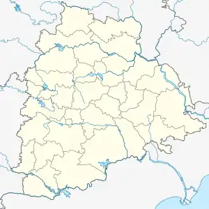 Ibrahimpatnam Location in Telangana, India 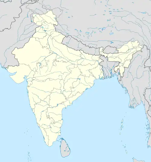 Ibrahimpatnam Ibrahimpatnam (India) | |
| Coordinates: 17.1017187°N 78.6293545°E | |
| Country | |
| State | Telangana |
| District | Ranga Reddy |
| Talukas | Ibrahimpatnam |
| Elevation | 373 m (1,224 ft) |
| Languages | |
| • Official | Telugu Urdu language |
| Time zone | UTC+5:30 (IST) |
| PIN Code | 501506 |
| Area code | +91-08414 |
| Vehicle registration | TS-07 |
Geography
Ibrahimpatnam is located at 16.5811°N 77.7489°E and at an altitude of 373 m (1,224 ft).[1]
Transport
Malakpet railway station is the nearest station to the town, located at a distance of 25 km. It is under the administration of Malakpet railway division of South Central Railway zone. TSRTC operates city buses from Ibrahimpatnam to various places.
Politics
Malreddy Ranga Reddy is the current Member of Legislative Assembly from the area.
References
- "Maps, Weather, and Airports for Ibrahimpatnam, India". fallingrain.com.
- "Rangareddy district" (PDF). New Districts Formation Portal. Government of Telangana. Archived from the original (PDF) on 13 October 2016. Retrieved 26 March 2017.
Neighbourhoods of Hyderabad | |
|---|---|
| |
| Hyderabad district |
|
| Greater Hyderabad |
|
| Hyderabad Urban Agglomeration |
|
| Hyderabad Metropolitan Area |
|