Mudigere
Mudigere is a Town Panchayath and Taluk in Chikmagalur district in the Indian state of Karnataka.[2] It is 30 km from the district headquarters.
Mudigere | |
|---|---|
Town | |
 Main library of the College of Horticulture in Mudigere | |
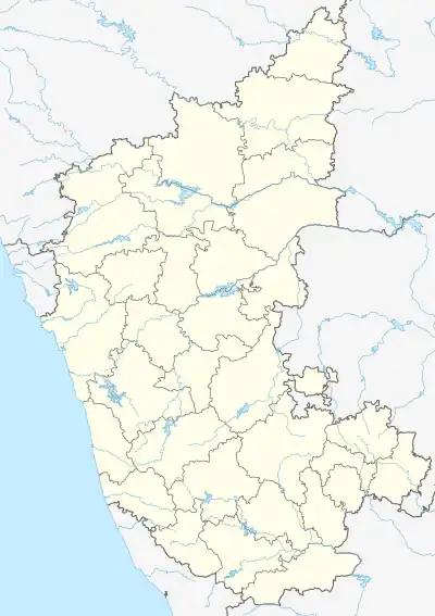 Mudigere Location in Karnataka, India | |
| Coordinates: 13.137°N 75.606°E | |
| Country | |
| State | Karnataka |
| District | Chikmagalur |
| Region | Malenadu |
| Government | |
| • Body | Town Panchayath |
| Area | |
| • Town | 3.5 km2 (1.4 sq mi) |
| • Rural | 1,117 km2 (431 sq mi) |
| Elevation | 990 m (3,250 ft) |
| Population (2011[1]) | |
| • Town | 8,962 |
| • Density | 2,600/km2 (6,600/sq mi) |
| Time zone | UTC+5:30 (IST) |
| PIN | 577132 |
| ISO 3166 code | IN-KA |
| Vehicle registration | KA-18 |
| Website | http://www.mudigeretown.mrc.gov.in |
Nearest airport is at Mangalore which is at a distance of 128 km (80 mi).[3] Mudigere is known for coffee and black pepper production.[4][5][6]
Geography and climate
Mudigere town is located at 13.15459°N 75.65033°E. It has an average elevation of 990 m (3,250 ft) above MSL. Thus, it is the 4th highest Administrative Town in Karnataka, after Madikeri, Somwarpet and Chikmagalur.[7]
Demographics
As of 2001 India census,[8] Mudigere had a population of 8,962. Males constituted 51% of the population and females 49%. Mudigere had an average literacy rate of 82%, higher than the national average of 59.5%: male literacy was 85%, and female literacy was 79%. In Mudigere in 2001, 10% of the population was under 6 years of age.
Villages
There are twenty-nine Panchayath villages in Mudigere Taluk:[9]
- B. Hosahalli (Bharatibylu)
- Balur
- Banakal
- Bettagere
- Bidarahalli
- Chinniga
- Coove
- Daradahalli
- Gonibeedu
- Halemudigere
- Hanthuru
- Hesagal (Belagola)
- Hornadu
- Idkani
- Javali
- Kalasa (Mavinakere)
- Kirugunda
- Kundur
- Makonahalli
- Marasanige
- Nandipura
- Niduvale
- Phalguni
- Samse
- Sunkasale
- Taruve
- Thotadur
- Tripura
- Urubage
Tourist attractions
The temples Bettada Byraweshwara near Mekanagadde and Nanyada Byraweshwara near Byrapura (Hosakere), which lies 25 km south of Mudigere, Devaramane near Gutthi are popular tourist destinations in Mudigere.[10] Ballalarayana Durga or Durgada Betta near Sunkasale grama is another trekking and tourist attraction.[11] Travelling from Kottigehara to Kalasa gives an enchanting experience of coffee plantations and green hills of Mudigere taluk. Shankara Falls is located near Mudigere.[12]
Education
Mudigere has many private and Government schools and colleges including the College of Horticulture.
Notable people
See also
- Mangalore
- Nellyadi
- Charmadi
- Kudremukh
- Dharmasthala
- Ujire
References
- "Census Data Handbook 2011" (PDF). Retrieved 7 April 2024.
- Mudigere (Approved) at GEOnet Names Server, United States National Geospatial-Intelligence Agency
- "How to reach Mudigere". Make My Trip. Retrieved 8 December 2016.
- [Developments in Plantation Crops Research: Papers Presented in PLACROSYM XII .. "Developments in Plantation Crops Research: Papers"]. Developments in Plantation Crops Research: Papers: 24 – via PLACROSYM XII.
{{cite journal}}: Check|url=value (help) - Advances in Agronomy. Academic Press London UK. 2006. p. 208. ISBN 9780080468914.
- Agronomy and Economy of Black Pepper and Cardamom: The "King" and "Queen" of ..Spices. Elsevier-USA. 2011. p. 133.
- "Elevation of Mudigere, Karnataka, India". World Elevation Map Finder. Retrieved 23 June 2020.
- "Census of India 2001: Data from the 2001 Census, including cities, villages and towns (Provisional)". Census Commission of India. Archived from the original on 16 June 2004. Retrieved 1 November 2008.
- "Reports of National Panchayat Directory: Village Panchayat Names of Mudigere, Chikmagalur, Karnataka". Ministry of Panchayati Raj, Government of India. Archived from the original on 17 April 2013.
- "Hill Stations". 27 September 2019.
- "Government of Karnataka".
- Moro, Archana (14 March 2015). "Travels in South India: Voyage through Karnataka". Travels in South India.