Moran Township, Michigan
Moran Township is a civil township of Mackinac County in the U.S. state of Michigan. The population was 1,029 at the 2020 census.[4]
Moran Township, Michigan | |
|---|---|
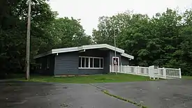 Moran Township Office | |
%252C_MI_location2.png.webp) Location within Mackinac County | |
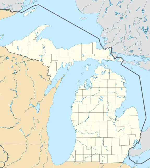 Moran Township Location within the state of Michigan  Moran Township Location within the United States | |
| Coordinates: 45°58′41″N 84°55′33″W | |
| Country | United States |
| State | Michigan |
| County | Mackinac |
| Established | 1844 |
| Government | |
| • Supervisor | Susan Dionne |
| • Clerk | Kristine Vallier |
| Area | |
| • Total | 134.42 sq mi (348.1 km2) |
| • Land | 127.57 sq mi (330.4 km2) |
| • Water | 6.85 sq mi (17.7 km2) |
| Elevation | 646 ft (197 m) |
| Population | |
| • Total | 1,029 |
| • Density | 8.07/sq mi (3.12/km2) |
| Time zone | UTC-5 (Eastern (EST)) |
| • Summer (DST) | UTC-4 (EDT) |
| ZIP Codes | |
| Area code | 906 |
| FIPS code | 26-55480[1] |
| GNIS feature ID | 1626766[3] |
| Website | www |
Geography
The township is in central Mackinac County, along the northeast shore of Lake Michigan. The southeastern end of the township touches the Straits of Mackinac at the northeast end of the lake. The city of St. Ignace borders the township to the southeast.
According to the United States Census Bureau, the township has a total area of 134.42 square miles (348.15 km2), of which 127.57 square miles (330.40 km2) are land and 6.85 square miles (17.74 km2), or 5.10%, are water.[1]
Communities
- Brevort is an unincorporated community in the township on U.S. Route 2 at 46°01′08″N 85°02′30″W, approximately 20 miles (32 km) northwest of St. Ignace.[5] The community is not a part of Brevort Township, which is adjacent to Moran Township on the north and east.
- Gros Cap is an unincorporated community in the township on Lake Michigan, approximately 5 miles (8 km) west of St. Ignace at 45°52′13″N 84°49′40″W[6]
- Ozark is a mostly unpopulated historic locale in the township at 46°08′31″N 84°57′56″W.[7] It was the site for the charcoal kilns of the Martel Furnace Company and was a flag stop named "Johnson's" on the Duluth, South Shore and Atlantic Railway in 1882. A post office named Ozark operated from June 1884 until August 1966. The name was derived from the early French name for the place Aux Arc, meaning "at the bend."[8]
Attractions
- Father Marquette National Memorial
- Fred Dye Nature Sanctuary
- Hiawatha National Forest (part)
- North Country Trail (segment)
- St. Helena Island
Demographics
In 2020, the township population was 1,029.[4]
References
- "2022 U.S. Gazetteer Files: Michigan". United States Census Bureau. Retrieved August 14, 2023.
- "P1. Race – Moran township, Michigan: 2020 DEC Redistricting Data (PL 94-171)". U.S. Census Bureau. Retrieved August 14, 2023.
- U.S. Geological Survey Geographic Names Information System: Moran Township, Michigan
- "Explore Census Data". data.census.gov. Retrieved August 4, 2023.
- U.S. Geological Survey Geographic Names Information System: Brevort, Michigan
- U.S. Geological Survey Geographic Names Information System: Gros Cap, Michigan
- U.S. Geological Survey Geographic Names Information System: Ozark, Michigan
- Romig, Walter (1986) [1973]. Michigan Place Names. Detroit, Michigan: Wayne State University Press. ISBN 0-8143-1838-X.
Municipalities and communities of Mackinac County, Michigan, United States | ||
|---|---|---|
| Cities | 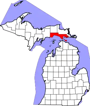 Map of Michigan highlighting Mackinac County.svg | |
| Civil townships |
| |
| CDP |
| |
| Other communities |
| |
| Indian reservations |
| |
| Footnotes | ‡This populated place also has portions in an adjacent county or counties | |
| ||
This article is issued from Wikipedia. The text is licensed under Creative Commons - Attribution - Sharealike. Additional terms may apply for the media files.