Saint-Christophe, Aosta Valley
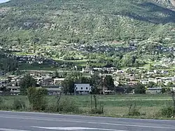
Saint-Christophe (Valdôtain: Sèn-Crétoublo) is a town and comune in the Aosta Valley. It is located east of Aosta, on the left shore of the Dora Baltea.
Saint-Christophe
Sèn-Crétoublo | |
|---|---|
| Comune di Saint-Christophe Commune de Saint-Christophe | |
 | |
 Coat of arms | |
Location of Saint-Christophe | |
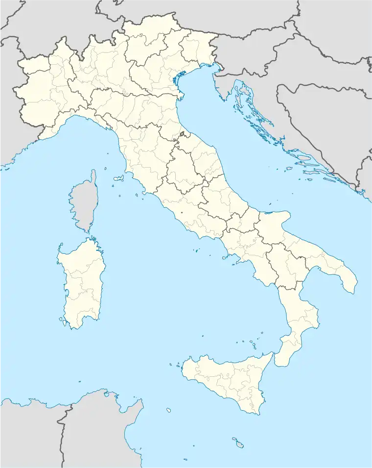 Saint-Christophe Location of Saint-Christophe in Italy 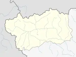 Saint-Christophe Saint-Christophe (Aosta Valley) | |
| Coordinates: 45°45′N 7°21′E | |
| Country | Italy |
| Region | Aosta Valley |
| Province | none |
| Frazioni | Angelin, Bagnère, Chabloz, Champapon, Champ-d'Hône, Château d'Entrèves, Chef-Lieu, Clappey, Cognon, Cort, Coutateppaz, La Crétaz, La Croix-Noire, Fontanalle, Gérardin, Gevé, Grand-Chemin, Grande-Charrière, Léméryaz, Loups, Maillod, Méladière, Meysettaz, Nicolin, Olleyes, Ollignan, Pallein, Pin, Prévot, Rouye, Senin, Sorreley, Thuvex, |
| Government | |
| • Mayor | Paolo Cheney |
| Area | |
| • Total | 14 km2 (5 sq mi) |
| Elevation | 619 m (2,031 ft) |
| Population (31 December 2022)[2] | |
| • Total | 3,482 |
| • Density | 250/km2 (640/sq mi) |
| Demonym(s) | Saint-christopherins, Crétoublains |
| Time zone | UTC+1 (CET) |
| • Summer (DST) | UTC+2 (CEST) |
| Postal code | 11020 |
| Dialing code | 0165 |
| Website | Official website |
Places of interest
The Passerin d'Entrèves castle is located in this commune.
Aosta Valley University has a campus in the frazione Grand-Chemin.
The Bridge of Grand Arvou is in the Aosta commune nearby.
Transport
Aosta Airport is located in Saint-Christophe. Air Vallée had its head office on the grounds of Aosta Airport.[3]
Twinnings
See also
- A.S.D. Vallée d’Aoste Saint-Christophe
References
- "Superficie di Comuni Province e Regioni italiane al 9 ottobre 2011". Italian National Institute of Statistics. Retrieved 16 March 2019.
- Population data from Istat
- "World Airline Directory." Flight International. 20–26 March 2001. 72.
External links
![]() Media related to Saint-Christophe at Wikimedia Commons
Media related to Saint-Christophe at Wikimedia Commons
- Saint-Christophe (in Italian)
|  | |
This article is issued from Wikipedia. The text is licensed under Creative Commons - Attribution - Sharealike. Additional terms may apply for the media files.