Shahhat
Shahhat or Shahat (Arabic: شحات, Shaḥāt) is a town in the District of Jabal al Akhdar in northeastern Libya.[2] It is located 24 km (15 mi) east of Bayda.
Shahat
شحات | |
|---|---|
Town | |
 | |
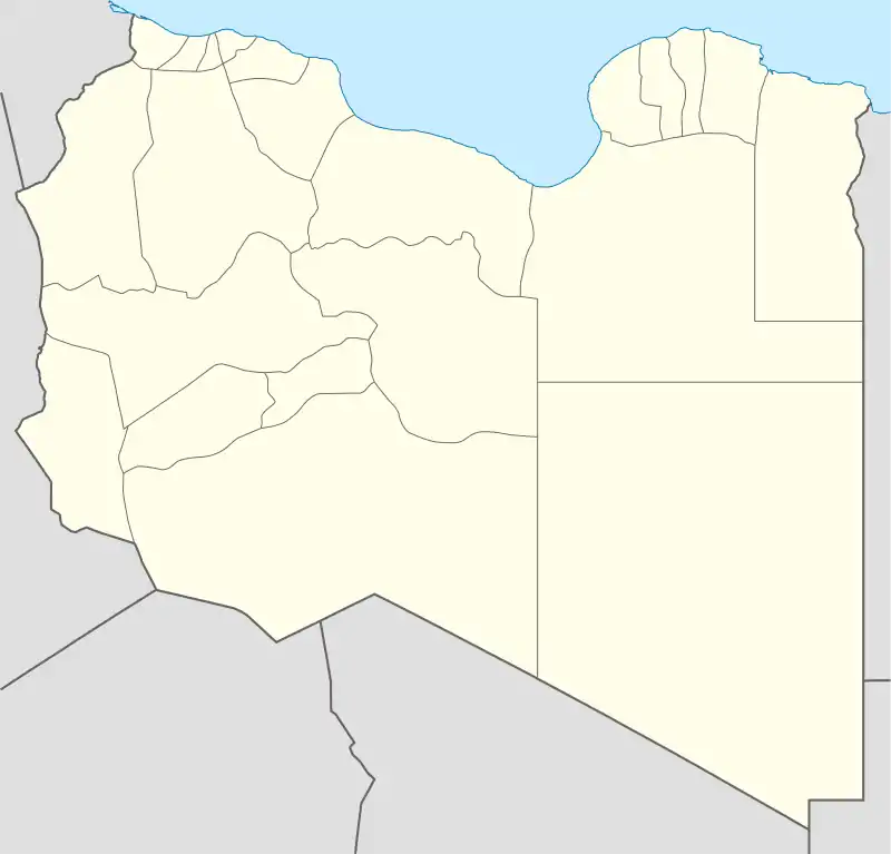 Shahat Location in Libya | |
| Coordinates: 32°49′40″N 21°51′44″E | |
| Country | |
| Region | Cyrenaica |
| District | Jabal al Akhdar |
| Elevation | 1,683 ft (513 m) |
| Population (2004)[1] | |
| • Total | 43,376 |
| Time zone | UTC +2 |
| License Plate Code | 35 |
History
The ancient and medieval city of Cyrene was located there in ancient times.
During the Libyan Civil War, the city was one of the first to fall under rebel control.[3]
Transport
Shahhat is linked with Derna by two roads, the inner one running through Al Qubah is part of the Libyan Coastal Highway and the coastal one running through Susa and Ras al Helal.
See also
References
- Wolfram Alpha
- Maplandia world gazetteer
- "Live Blog - Libya Feb 24 | Al Jazeera Blogs". blogs.aljazeera.net. Archived from the original on 2011-02-25.
External links
Wikimedia Commons has media related to Shahhat.
| Capital | ||
|---|---|---|
| Towns and villages |
| |
This article is issued from Wikipedia. The text is licensed under Creative Commons - Attribution - Sharealike. Additional terms may apply for the media files.