Signy-Signets
Signy-Signets (French pronunciation: [siɲi siɲɛ] ⓘ) is a commune in the Seine-et-Marne department in the Île-de-France region in north-central France.
Signy-Signets | |
|---|---|
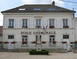 The town hall in Signy-Signets | |
.svg.png.webp) Coat of arms | |
Location of Signy-Signets | |
 Signy-Signets 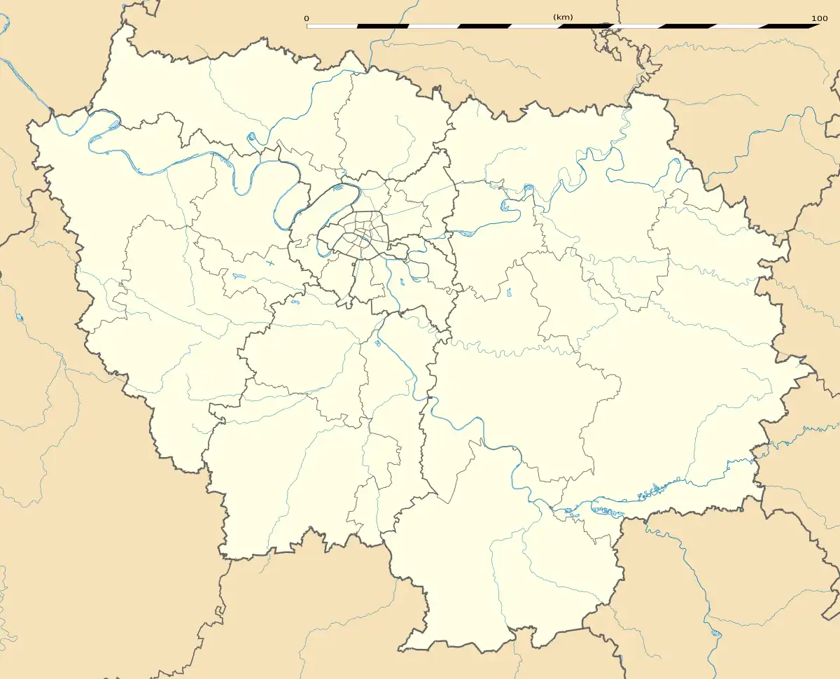 Signy-Signets | |
| Coordinates: 48°55′40″N 3°04′04″E | |
| Country | France |
| Region | Île-de-France |
| Department | Seine-et-Marne |
| Arrondissement | Meaux |
| Canton | La Ferté-sous-Jouarre |
| Intercommunality | CA Coulommiers Pays de Brie |
| Government | |
| • Mayor (2020–2026) | Philippe Fourmy[1] |
| Area 1 | 13.44 km2 (5.19 sq mi) |
| Population (2021)[2] | 602 |
| • Density | 45/km2 (120/sq mi) |
| Time zone | UTC+01:00 (CET) |
| • Summer (DST) | UTC+02:00 (CEST) |
| INSEE/Postal code | 77451 /77640 |
| Elevation | 77–172 m (253–564 ft) |
| 1 French Land Register data, which excludes lakes, ponds, glaciers > 1 km2 (0.386 sq mi or 247 acres) and river estuaries. | |
Demographics
Inhabitants of Signy-Signets are called Signaciens.
References
- "Répertoire national des élus: les maires" (in French). data.gouv.fr, Plateforme ouverte des données publiques françaises. 13 September 2022.
- "Populations légales 2021". The National Institute of Statistics and Economic Studies. 28 December 2023.
External links
Wikimedia Commons has media related to Signy-Signets.
- 1999 Land Use, from IAURIF (Institute for Urban Planning and Development of the Paris-Île-de-France région) (in English)
- Base Mérimée: Search for heritage in the commune, Ministère français de la Culture. (in French)
This article is issued from Wikipedia. The text is licensed under Creative Commons - Attribution - Sharealike. Additional terms may apply for the media files.