Tecate, California
Tecate is an unincorporated community in the Mountain Empire area of central southeastern San Diego County, California, adjacent to (directly north of) the Mexican border and the Mexican city of Tecate, Baja California; it is affectionately nicknamed Tecatito (or "Little Tecate") on account of its smaller size compared with the Mexican city Tecate. The community is best-known for its border crossing between the United States and México and nearby Tecate Peak. This area of San Diego County is somewhat desolate and rugged, located roughly an hour’s drive from downtown San Diego.
Tecate | |
|---|---|
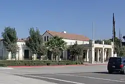 Tecate Port of Entry | |
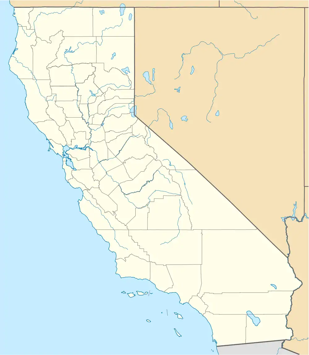 Tecate Location within the state of California  Tecate Tecate (the United States) | |
| Coordinates: 32°34′38″N 116°37′39″W | |
| Country | |
| State | |
| County | |
| Elevation | 1,778 ft (542 m) |
| Population (2000) | |
| • Total | 207 (71.01% of the population is Hispanic or Latino of any race)[2] |
| Time zone | UTC-8 (Pacific (PST)) |
| • Summer (DST) | UTC-7 (PDT) |
| ZIP codes | 91980 |
| Area code | 619 |
| GNIS feature ID | 1661553[1] |
References
- U.S. Geological Survey Geographic Names Information System: Tecate, California
- "Custom Table - American FactFinder". Archived from the original on January 1, 2012. Retrieved March 29, 2020.
Municipalities and communities of San Diego County, California, United States | ||
|---|---|---|
| Cities |  San Diego County map | |
| CDPs |
| |
| Unincorporated communities |
| |
| Indian reservations |
| |
| Ghost towns |
| |
| ||
This article is issued from Wikipedia. The text is licensed under Creative Commons - Attribution - Sharealike. Additional terms may apply for the media files.