Touchay
Touchay (French pronunciation: [tuʃɛ]) is a commune in the Cher department in the Centre-Val de Loire region of France.
Touchay | |
|---|---|
 An old postcard view of the church of Saint-Martin, in Touchay, circa. 1900 | |
Location of Touchay | |
 Touchay 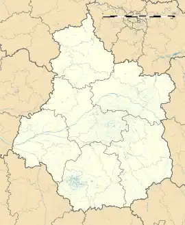 Touchay | |
| Coordinates: 46°42′47″N 2°12′45″E | |
| Country | France |
| Region | Centre-Val de Loire |
| Department | Cher |
| Arrondissement | Saint-Amand-Montrond |
| Canton | Châteaumeillant |
| Government | |
| • Mayor (2020–2026) | Marilyne Brossat[1] |
| Area 1 | 23.41 km2 (9.04 sq mi) |
| Population (2021)[2] | 228 |
| • Density | 9.7/km2 (25/sq mi) |
| Time zone | UTC+01:00 (CET) |
| • Summer (DST) | UTC+02:00 (CEST) |
| INSEE/Postal code | 18266 /18160 |
| Elevation | 161–246 m (528–807 ft) (avg. 245 m or 804 ft) |
| 1 French Land Register data, which excludes lakes, ponds, glaciers > 1 km2 (0.386 sq mi or 247 acres) and river estuaries. | |
Geography
A farming area comprising the village and several hamlets situated on the banks of the river Arnon, about 23 miles (37 km) southwest of Bourges on the D69 road.
Population
| Year | Pop. | ±% |
|---|---|---|
| 1962 | 322 | — |
| 1968 | 342 | +6.2% |
| 1975 | 286 | −16.4% |
| 1982 | 298 | +4.2% |
| 1990 | 286 | −4.0% |
| 1999 | 297 | +3.8% |
| 2008 | 287 | −3.4% |
Sights
- The church of St. Martin, dating from the fifteenth century.
- The fifteenth-century manorhouse de l’Asnerie.
- The fifteenth-century chateau of l'Isle-sur-Arnon.
Personalities
- Maurice Utrillo, artist, lived here and created a painting of the village square.
See also
References
- "Répertoire national des élus: les maires". data.gouv.fr, Plateforme ouverte des données publiques françaises (in French). 2 December 2020.
- "Populations légales 2021". The National Institute of Statistics and Economic Studies. 28 December 2023.
External links
Wikimedia Commons has media related to Touchay.
This article is issued from Wikipedia. The text is licensed under Creative Commons - Attribution - Sharealike. Additional terms may apply for the media files.