Verdun, Ariège
Verdun (French pronunciation: [vɛʁdœ̃] ⓘ) is a commune in the Ariège department, southwestern France.
Verdun | |
|---|---|
.jpg.webp) The church in Verdun | |
Location of Verdun | |
 Verdun 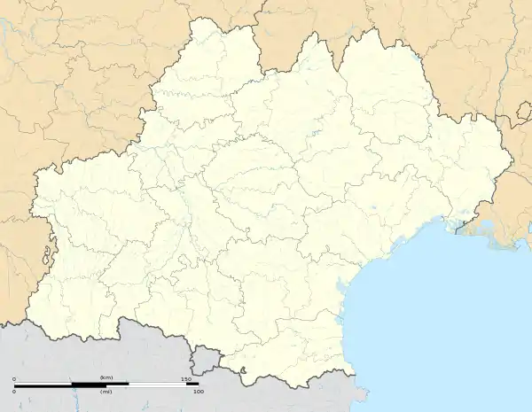 Verdun | |
| Coordinates: 42°47′43″N 1°41′20″E | |
| Country | France |
| Region | Occitania |
| Department | Ariège |
| Arrondissement | Foix |
| Canton | Haute-Ariège |
| Government | |
| • Mayor (2020–2026) | Alain Miquel[1] |
| Area 1 | 11.71 km2 (4.52 sq mi) |
| Population (2021)[2] | 210 |
| • Density | 18/km2 (46/sq mi) |
| Time zone | UTC+01:00 (CET) |
| • Summer (DST) | UTC+02:00 (CEST) |
| INSEE/Postal code | 09328 /09310 |
| Elevation | 513–1,461 m (1,683–4,793 ft) (avg. 548 m or 1,798 ft) |
| 1 French Land Register data, which excludes lakes, ponds, glaciers > 1 km2 (0.386 sq mi or 247 acres) and river estuaries. | |
Geography
Verdun is located in the upper Ariège valley, in the Pyrénées.
Population
Inhabitants of Verdun are called Verdunois.
| Year | Pop. | ±% p.a. |
|---|---|---|
| 1968 | 210 | — |
| 1975 | 184 | −1.87% |
| 1982 | 160 | −1.98% |
| 1990 | 154 | −0.48% |
| 1999 | 183 | +1.94% |
| 2007 | 235 | +3.18% |
| 2012 | 228 | −0.60% |
| 2017 | 221 | −0.62% |
| Source: INSEE[3] | ||
Sights
The village contains a Romanesque medieval church.
See also
References
- "Répertoire national des élus: les maires". data.gouv.fr, Plateforme ouverte des données publiques françaises (in French). 2 December 2020.
- "Populations légales 2021". The National Institute of Statistics and Economic Studies. 28 December 2023.
- Population en historique depuis 1968, INSEE
Wikimedia Commons has media related to Verdun, Ariège.
This article is issued from Wikipedia. The text is licensed under Creative Commons - Attribution - Sharealike. Additional terms may apply for the media files.