Veselé, Czech Republic
Veselé (German: Freudenberg) is a municipality and village in Děčín District in the Ústí nad Labem Region of the Czech Republic. It has about 400 inhabitants.
Veselé | |
|---|---|
%252C_%C4%8D._p._142_(4).jpg.webp) Half-timbered farmstead | |
 Flag  Coat of arms | |
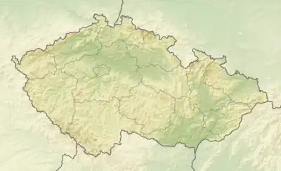 Veselé Location in the Czech Republic | |
| Coordinates: 50°47′5″N 14°22′26″E | |
| Country | |
| Region | Ústí nad Labem |
| District | Děčín |
| First mentioned | 1381 |
| Area | |
| • Total | 7.38 km2 (2.85 sq mi) |
| Elevation | 264 m (866 ft) |
| Population (2023-01-01)[1] | |
| • Total | 369 |
| • Density | 50/km2 (130/sq mi) |
| Time zone | UTC+1 (CET) |
| • Summer (DST) | UTC+2 (CEST) |
| Postal code | 405 02 |
| Website | www |
Administrative parts
The hamlet of Veselíčko 1. díl is an administrative part of Veselé.
Etymology
The name literally means 'merry, cheerful' in Czech. It was derived from the original German name Freudenberg, meaning 'merry hill'.[2]
Geography
Veselé is located about 11 kilometres (7 mi) east of Děčín and 27 km (17 mi) northeast of Ústí nad Labem. It lies in the hilly landscape of the Central Bohemian Uplands. The highest point is the Veselka hill at 460 m (1,510 ft) above sea level. The village is situated along the Bystrá River.
History
The first written mention of Veselé is from 1381.[2]
Demographics
|
|
| ||||||||||||||||||||||||||||||||||||||||||||||||||||||
| Source: Censuses[3][4] | ||||||||||||||||||||||||||||||||||||||||||||||||||||||||
Sights
Veselé is poor in monuments. The only cultural monuments are a statue of St. Anthony of Padua dating from 1712 and a half-timbered farmstead, built in the first half of the 19th century.[6]
References
- "Population of Municipalities – 1 January 2023". Czech Statistical Office. 2023-05-23.
- "Historie" (in Czech). Obec Veselé. Retrieved 2024-02-09.
- "Historický lexikon obcí České republiky 1869–2011 – Okres Děčín" (in Czech). Czech Statistical Office. 2015-12-21. pp. 15–16.
- "Population Census 2021: Population by sex". Public Database. Czech Statistical Office. 2021-03-27.
- "Detail stanice Veselé p.Rabštejnem" (in Czech). České dráhy. Retrieved 2024-02-09.
- "Výsledky vyhledávání: Kulturní památky, obec Veselé". Ústřední seznam kulturních památek (in Czech). National Heritage Institute. Retrieved 2024-02-09.