115th meridian west

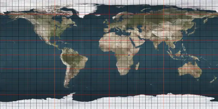
The meridian 115° west of Greenwich is a line of longitude that extends from the North Pole across the Arctic Ocean, North America, the Pacific Ocean, the Southern Ocean, and Antarctica to the South Pole.

Line across the Earth
115°
115th meridian west

The 115th meridian west forms a great circle with the 65th meridian east.

Between the equator and the 60th parallel south it forms the eastern boundary of the South Pacific Nuclear-Weapon-Free Zone and the western boundary of the Latin American Nuclear-Weapon-Free Zone.

From Pole to Pole

Starting at the North Pole and heading south to the South Pole, the 115th meridian west passes through:

Co-ordinates Country, territory or sea Notes
90°0′N 115°0′W Arctic Ocean
77°58′N 115°0′W  Canada Northwest TerritoriesBrock Island
77°55′N 115°0′W Ballantyne Strait
77°19′N 115°0′W Unnamed waterbody Passing just west of Emerald Isle, Northwest Territories,  Canada at 76°47′N 114°50′W
76°28′N 115°0′W  Canada Northwest TerritoriesMelville Island
74°58′N 115°0′W M'Clure Strait
73°18′N 115°0′W  Canada Northwest TerritoriesVictoria Island
70°36′N 115°0′W Prince Albert Sound
70°17′N 115°0′W  Canada Northwest TerritoriesVictoria Island
Nunavut — from 70°0′N 115°0′W on Victoria Island
68°52′N 115°0′W Dolphin and Union Strait
70°17′N 115°0′W  Canada Nunavut - mainland
68°10′N 115°0′W Coronation Gulf
67°48′N 115°0′W  Canada Nunavut
Northwest Territories — from 66°16′N 115°0′W, passing through the Great Slave Lake
Alberta — from 60°0′N 115°0′W
British Columbia — from 50°34′N 115°0′W
49°0′N 115°0′W  United States Montana
Idaho — from 46°58′N 115°0′W
Nevada — from 42°0′N 115°0′W, passing just east of Las Vegas at 36°10′N 115°8′W
California — from 35°17′N 115°0′W
32°42′N 115°0′W  Mexico Baja California
Sonora — for about 12 km from 32°18′N 115°0′W
Baja California — from 32°11′N 115°0′W
Sonora — for about 2 km from 31°59′N 115°0′W
Baja California — from 31°56′N 115°0′W
29°23′N 115°0′W Pacific Ocean Sebastián Vizcaíno Bay, passing just east of Cedros Island,  Mexico at 38°10′N 115°9′W
27°50′N 115°0′W  Mexico Baja California Sur
27°43′N 115°0′W Pacific Ocean Passing just west of Clarion Island,  Mexico at 18°21′N 114°47′W
60°0′S 115°0′W Southern Ocean
74°2′S 115°0′W Antarctica Unclaimed territory

See also

References

    This article is issued from Wikipedia. The text is licensed under Creative Commons - Attribution - Sharealike. Additional terms may apply for the media files.