Marsoulas
Marsoulas is a commune in the Haute-Garonne department in southwestern France.
Marsoulas | |
|---|---|
Location of Marsoulas | |
 Marsoulas 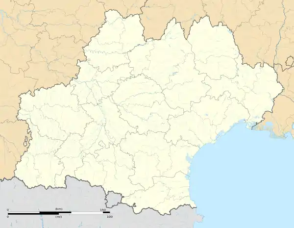 Marsoulas | |
| Coordinates: 43°06′23″N 0°59′58″E | |
| Country | France |
| Region | Occitania |
| Department | Haute-Garonne |
| Arrondissement | Saint-Gaudens |
| Canton | Bagnères-de-Luchon |
| Intercommunality | Cagire Garonne Salat |
| Government | |
| • Mayor (2020–2026) | Alexandre Ader[1] |
| Area 1 | 2.4 km2 (0.9 sq mi) |
| Population (2021)[2] | 136 |
| • Density | 57/km2 (150/sq mi) |
| Time zone | UTC+01:00 (CET) |
| • Summer (DST) | UTC+02:00 (CEST) |
| INSEE/Postal code | 31321 /31260 |
| Elevation | 292–422 m (958–1,385 ft) (avg. 384 m or 1,260 ft) |
| 1 French Land Register data, which excludes lakes, ponds, glaciers > 1 km2 (0.386 sq mi or 247 acres) and river estuaries. | |
It is notable for the Marsoulas Cave in which palæolithic artifacts and paintings were discovered.[3]
History
Early in the morning of 10 June 1944, Nazi Germany invaded Marsoulas, and killed 27 people, 11 being children.[4]
Population
| Year | Pop. | ±% |
|---|---|---|
| 1962 | 79 | — |
| 1968 | 114 | +44.3% |
| 1975 | 94 | −17.5% |
| 1982 | 100 | +6.4% |
| 1990 | 112 | +12.0% |
| 1999 | 137 | +22.3% |
| 2008 | 141 | +2.9% |
References
- "Répertoire national des élus: les maires". data.gouv.fr, Plateforme ouverte des données publiques françaises (in French). 2 December 2020.
- "Populations légales 2021". The National Institute of Statistics and Economic Studies. 28 December 2023.
- "Recent Excavation in the Marsoulas Cave". Nature. 129 (3251): 273–274. 20 February 1932. doi:10.1038/129273d0.
- Hanks, Jane (23 September 2021). "The painful SS massacre memories of this tiny French village". www.connexionfrance.com. Retrieved 18 April 2024.
Wikimedia Commons has media related to Marsoulas.
This article is issued from Wikipedia. The text is licensed under Creative Commons - Attribution - Sharealike. Additional terms may apply for the media files.