Surubim
Surubim is a city in the state of Pernambuco, Brazil. It is the birthplace of Chacrinha, a famous Brazilian comedian and entertainer who died in 1988.
Surubim | |
|---|---|
Municipality | |
 Flag  Seal | |
 Municipal location | |
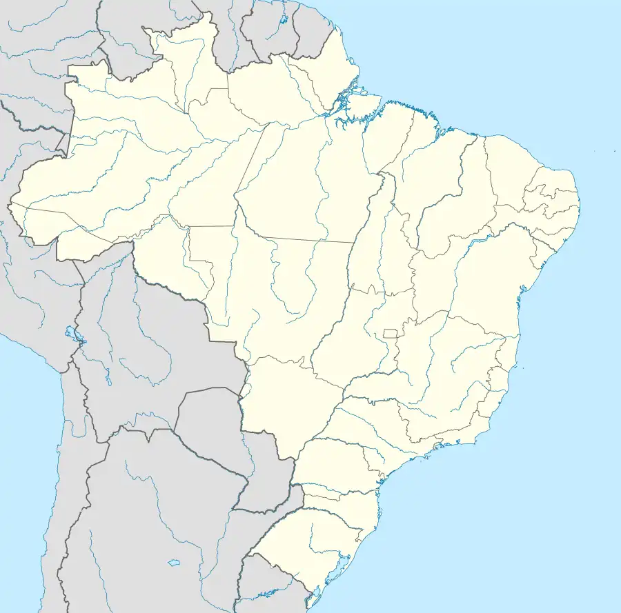 Surubim Location in Brazil | |
| Coordinates: 7°50′S 35°45′W | |
| Country | |
| Region | Northeast |
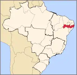
| State | Pernambuco |
| Established | April 27, 1893 |
| Area | |
| • Total | 97.63 sq mi (252.85 km2) |
| Elevation | 1,293 ft (394 m) |
| Population (2020 [1]) | |
| • Total | 65,647 |
| • Density | 599.4/sq mi (231.42/km2) |
| Time zone | UTC−3 (BRT) |
Geography
- State - Pernambuco
- Region - Agreste of Pernambuco
- Boundaries - Vertentes do Lério and Casinhas (N); Riacho das Almas and Cumaru (S); Bom Jardim, Salgadinho and João Alfredo (E); Santa Maria do Cambucá and Frei Miguelinho (W)
- Area - 252.85 km2
- Elevation - 394 m
- Hydrography - Capibaribe river
- Vegetation - Caatinga Hiperxerófila
- Climate - semi-arid, hot and dry
- Annual average temperature - 23.7 c
- Distance to Recife - 134 km
Climate
| Climate data for Surubim (1991–2020) | |||||||||||||
|---|---|---|---|---|---|---|---|---|---|---|---|---|---|
| Month | Jan | Feb | Mar | Apr | May | Jun | Jul | Aug | Sep | Oct | Nov | Dec | Year |
| Mean daily maximum °C (°F) | 31.9 (89.4) |
31.9 (89.4) |
31.6 (88.9) |
30.8 (87.4) |
29.2 (84.6) |
27.3 (81.1) |
26.5 (79.7) |
27.2 (81.0) |
29.0 (84.2) |
30.8 (87.4) |
31.8 (89.2) |
32.2 (90.0) |
30.0 (86.0) |
| Daily mean °C (°F) | 25.3 (77.5) |
25.6 (78.1) |
25.6 (78.1) |
25.2 (77.4) |
24.1 (75.4) |
22.7 (72.9) |
21.9 (71.4) |
22.0 (71.6) |
22.9 (73.2) |
24.1 (75.4) |
24.9 (76.8) |
25.3 (77.5) |
24.1 (75.4) |
| Mean daily minimum °C (°F) | 21.1 (70.0) |
21.6 (70.9) |
21.7 (71.1) |
21.4 (70.5) |
20.6 (69.1) |
19.5 (67.1) |
18.7 (65.7) |
18.3 (64.9) |
18.9 (66.0) |
19.8 (67.6) |
20.5 (68.9) |
20.9 (69.6) |
20.3 (68.5) |
| Average precipitation mm (inches) | 37.9 (1.49) |
41.6 (1.64) |
62.8 (2.47) |
68.7 (2.70) |
76.5 (3.01) |
99.1 (3.90) |
84.3 (3.32) |
47.8 (1.88) |
23.1 (0.91) |
8.8 (0.35) |
10.6 (0.42) |
19.1 (0.75) |
580.3 (22.85) |
| Average precipitation days (≥ 1.0 mm) | 4.2 | 5.1 | 7.2 | 7.9 | 10.4 | 13.0 | 13.7 | 10.0 | 4.9 | 2.4 | 2.0 | 2.8 | 83.6 |
| Average relative humidity (%) | 75.2 | 75.0 | 74.3 | 76.8 | 79.7 | 82.5 | 83.1 | 80.0 | 75.4 | 71.0 | 69.4 | 69.8 | 76.0 |
| Average dew point °C (°F) | 20.3 (68.5) |
20.6 (69.1) |
21.0 (69.8) |
21.1 (70.0) |
20.8 (69.4) |
20.0 (68.0) |
19.3 (66.7) |
18.9 (66.0) |
18.8 (65.8) |
18.9 (66.0) |
19.2 (66.6) |
19.8 (67.6) |
19.9 (67.8) |
| Mean monthly sunshine hours | 244.7 | 230.5 | 246.7 | 222.0 | 206.9 | 175.2 | 180.1 | 213.3 | 241.6 | 269.5 | 271.0 | 263.9 | 2,765.4 |
| Source: NOAA[2] | |||||||||||||
Economy
The main economic activities in Surubim are based in industry, commerce and agribusiness, especially the raising of cattle, pigs, goats, sheep and chickens.
Economic indicators
| Population [3] | GDP x(1000 R$).[4] | GDP pc (R$) | PE |
|---|---|---|---|
| 56.795 | 205.142 | 3.804 | 0.342% |
Economy by Sector 2006
| Primary sector | Secondary sector | Service sector |
|---|---|---|
| 2.82% | 12.97% | 84.21% |
References
- IBGE 2020
- "World Meteorological Organization Climate Normals for 1991-2020 — Surubim". National Oceanic and Atmospheric Administration. Retrieved February 1, 2024.
- http://www.ibge.gov.br/home/estatistica/populacao/estimativa2009/POP2009_DOU.pdf IBGE Population 2009 (Surubim, page 35)
- Surubim 2007 GDP IBGE page 30 Archived 2016-03-04 at the Wayback Machine
- PE State site - City by city profile
Capital: Recife | ||||||||||||||
| Mesoregion Agreste Pernambucano |
|  | ||||||||||||
| Mesoregion Mata Pernambucana |
| |||||||||||||
| Mesoregion Metropolitana de Recife |
| |||||||||||||
| Mesoregion Sao Francisco Pernambucano |
| |||||||||||||
| Mesoregion Sertão Pernambucano |
| |||||||||||||
This article is issued from Wikipedia. The text is licensed under Creative Commons - Attribution - Sharealike. Additional terms may apply for the media files.