Mica Mountain
Mica Mountain is an 8,668-foot (2,642 m)[1] peak in the Rincon Mountain District of Saguaro National Park in Pima County, Arizona, about 20 miles (32 km) east of Tucson. It is the highest point of the park and the highest point in the Rincon Mountains.[2]

Mica Mountain view from the west, from 36 miles away in the Tucson Mountains. The small sub-peak on the right side of the mountain is Tanque Verde Peak, and Downtown Tucson can be seen in the foreground.
| Mica Mountain | |
|---|---|
 Mica Mountain view from Windy Point | |
| Highest point | |
| Elevation | 8,668 ft (2,642 m)[1] |
| Prominence | 4,608 ft (1,405 m)[2] |
| Isolation | 20.42 mi (32.86 km)[2] |
| Coordinates | 32°13′12″N 110°32′36″W[1] |
| Geography | |
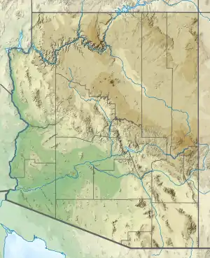 Mica Mountain Location in the state of Arizona | |
| Location | Pima County, Arizona, United States |
| Parent range | Rincon Mountains |
See also
References
- U.S. Geological Survey Geographic Names Information System: Mica Mountain
- "Mica Mountain". Peakbagger. Retrieved 12 July 2017.
This article is issued from Wikipedia. The text is licensed under Creative Commons - Attribution - Sharealike. Additional terms may apply for the media files.