Beaverfoot Range
The Beaverfoot Range is a mountain range of the Canadian Rockies, located in southeastern British Columbia. The range extends from Cedared Creek near Spillimacheen north to the Kicking Horse River.
| Beaverfoot Range | |
|---|---|
.jpg.webp) Castle Mountain (May 2010) | |
| Highest point | |
| Peak | Kapristo Mountain |
| Elevation | 2,722 m (8,930 ft)[1] |
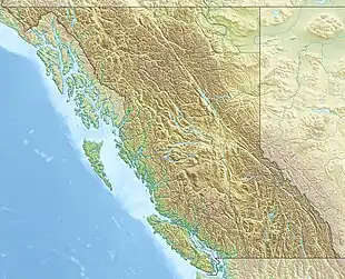
| Coordinates | 51°12′44″N 116°44′57″W[2] |
| Dimensions | |
| Area | 498 km2 (192 sq mi)[3] |
| Geography | |
 Beaverfoot Range | |
| Country | Canada |
| Province | British Columbia |
| Range coordinates | 51°07′59″N 116°38′04″W[4] |
| Parent range | Canadian Rockies |
| Topo map | NTS 82K16 Spillimacheen NTS 82N1 Mount Goodsir NTS 82N2 McMurdo |
This range includes the following mountains and peaks:[5]
| Name | Elevation (m/ft) | Coordinates | |
|---|---|---|---|
| Kapristo Mountain | 2,722 | 8,930 | 51°12′44″N 116°44′57″W[6] |
| Castle Mountain | 2,545 | 8,350 | 51°02′22″N 116°26′55″W[7] |
| Coral Mountain | 2,460 | 8,070 | 51°07′08″N 116°35′29″W[8] |
| Tower Peak | 2,460 | 8,070 | 51°05′59″N 116°35′22″W[9] |
References
- "Topographic map of Kapristo Mountain". opentopomap.org. Retrieved 2023-07-12.
- "Kapristo Mountain". Geographical Names Data Base. Natural Resources Canada. Retrieved 2023-07-12.
- "Beaverfoot Range". bivouac.com. Retrieved 2023-07-12.
- "Beaverfoot Range". BC Geographical Names. Retrieved 2023-07-12.
- "Beaverfoot Range". cdnrockiesdatabases.ca. Retrieved 2023-07-12.
- "Beaverfoot Range". Geographical Names Data Base. Natural Resources Canada. Retrieved 2023-07-12.
- "Castle Mountain". BC Geographical Names. Retrieved 2023-07-12.
- "Coral Mountain". Geographical Names Data Base. Natural Resources Canada. Retrieved 2023-07-12.
- "Tower Peak". Geographical Names Data Base. Natural Resources Canada. Retrieved 2023-07-12.
This article is issued from Wikipedia. The text is licensed under Creative Commons - Attribution - Sharealike. Additional terms may apply for the media files.