Bonningues-lès-Ardres
Bonningues-lès-Ardres (French pronunciation: [bɔnɛ̃ɡ lɛ.z‿aʁdʁ], literally Bonningues near Ardres; West Flemish: Boninge) is a commune in the Pas-de-Calais department in the Hauts-de-France region in northern France.[3]
Bonningues-lès-Ardres
Boninge | |
|---|---|
_mairie.JPG.webp) The town hall of Bonningues-lès-Ardres | |
 Coat of arms | |
Location of Bonningues-lès-Ardres | |
 Bonningues-lès-Ardres 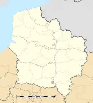 Bonningues-lès-Ardres | |
| Coordinates: 50°47′37″N 2°00′56″E | |
| Country | France |
| Region | Hauts-de-France |
| Department | Pas-de-Calais |
| Arrondissement | Saint-Omer |
| Canton | Lumbres |
| Intercommunality | Pays de Lumbres |
| Government | |
| • Mayor (2020–2026) | Gérard Franque[1] |
| Area 1 | 10.6 km2 (4.1 sq mi) |
| Population (2021)[2] | 628 |
| • Density | 59/km2 (150/sq mi) |
| Time zone | UTC+01:00 (CET) |
| • Summer (DST) | UTC+02:00 (CEST) |
| INSEE/Postal code | 62155 /62890 |
| Elevation | 34–184 m (112–604 ft) (avg. 43 m or 141 ft) |
| 1 French Land Register data, which excludes lakes, ponds, glaciers > 1 km2 (0.386 sq mi or 247 acres) and river estuaries. | |
Geography
A village situated 10 miles (16 km) northwest of Saint-Omer, on theD217 road.
Population
| Year | Pop. | ±% p.a. |
|---|---|---|
| 1968 | 451 | — |
| 1975 | 401 | −1.66% |
| 1982 | 457 | +1.89% |
| 1990 | 443 | −0.39% |
| 1999 | 509 | +1.56% |
| 2009 | 651 | +2.49% |
| 2014 | 672 | +0.64% |
| 2020 | 635 | −0.94% |
| Source: INSEE[4] | ||
Sights
- The church of St. Leger, dating from the sixteenth century.
References
- "Répertoire national des élus: les maires". data.gouv.fr, Plateforme ouverte des données publiques françaises (in French). 2 December 2020.
- "Populations légales 2021". The National Institute of Statistics and Economic Studies. 28 December 2023.
- INSEE commune file
- Population en historique depuis 1968, INSEE
Wikimedia Commons has media related to Bonningues-lès-Ardres.
This article is issued from Wikipedia. The text is licensed under Creative Commons - Attribution - Sharealike. Additional terms may apply for the media files.